This is a steep forest trail with rock outcrops and tight switchbacks. Climbs 1,300 feet in 1.6 miles from Cold Springs Road to the Appalachian Trail near Max Patch Mountain. Can be used to "Summit" Max Patch over a much more difficult route than the...
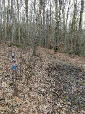
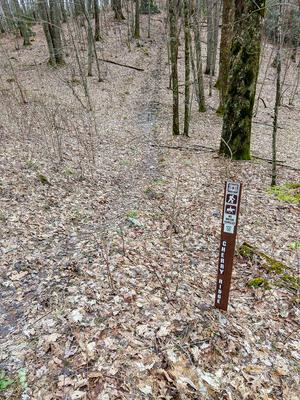
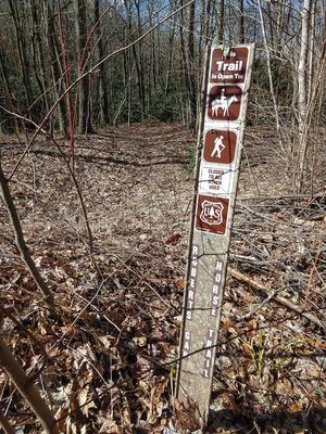
Primarily used as a horse trail, but open to hiking. Good connector trail between Cold Springs Horse Trail and Max Patch Road. Follow old logging road through hardwood forest. Park on SR 1182.
Primarily used as a horse trail, but open to hiking. Follow Cold Springs Creek through the woods. Park at junctions of NFSR 148 and 3526, or SR 1182 and NFSR 148.
This trail follows Groundhog Creek for most of its length. Just below the Appalachian Trail shelter the trail crosses an old road. Water is available along the trail and at the shelter. Offers 9.5 mile loop: Combine with Groundhog Creek, Rube Rock...
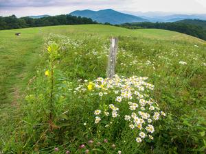
Longer loop circling Max Patch Mountain. Descends into some beautiful meadows lower down the mountain with views back up to the top. Rhododendron tunnels. One section passes by the headwaters of a tiny stream, where a few very old, fat trees grow....
Primarily used as a horse trail, but open to hikers. Follows gated logging roads with several vistas and stream crossings. Begins and ends on SR 1182. Follow the road to make a loop.
This trail is one of the district's most difficult trails due to steepness in several places. It intersects the Appalachian and Groundhog trails to form a 9.5 mile loop.
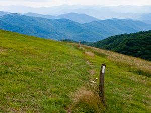
Crosses the summit, which is exactly where you want to be when you visit Max Patch Mountain. Due to its central location, you can see just about everything from up here, from the Smokies, to Mount Mitchell, and halfway across Tennessee - which may be...
1.4mi, Climbs Moderately, Few Obstacles
Nearby Trails
The following trails cross into this trailhead area, but are primarily accessed from another trailhead: