Hiking in Pinnacle Park, Sylva, North Carolina
Overview
Previously used as the Town of Sylva's watershed, this 1,100 acre tract of land is now open as a public park. The Pinnacle Park Foundation was licensed to begin building hiking trails here in 1991, and today, several excellent trails and hiking opportunities exist.
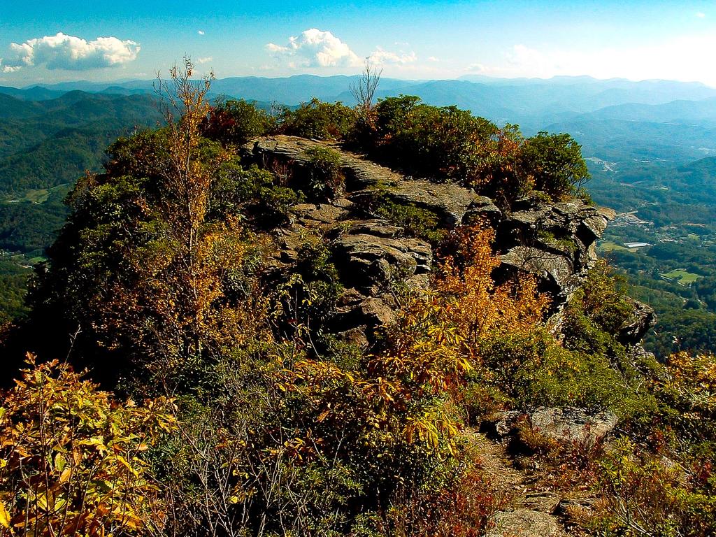
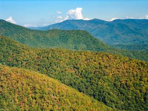
"The Pinnacle", for which the Park is named, is a sharp-topped ridge at an elevation of just over 5000 ft. Extending south from the main ridge of the Plott Balsam Mountains, it stands over 2500 ft above the valley floor, and is visible from the Great Smoky Mountains Expressway if (as a passenger 😉) you look closely. Regardless of whether you spot it, you don't have to look closely to see the Plott Balsams looming high above, and the park covers a swath of land from near the base all the way up to the peaks of the mountain.
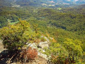
From its peak is, not surprisingly, an incredible 360° view of the surrounding mountains and valley in which Sylva sits. You can also clearly see the Exit 85 split between the Expressway and NC 107, and the latter leading off to Western Carolina University. Being so close to Western, it is a popular hiking spot for students as well.
Hiking Trails
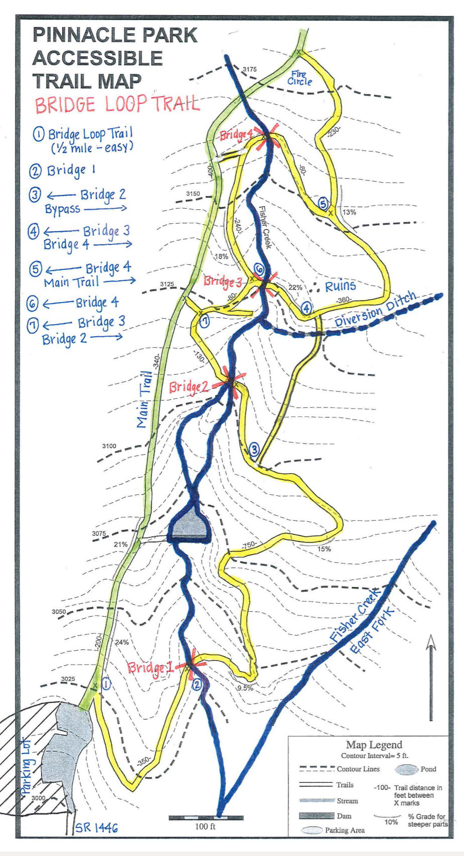
The original main trail in the park is now called the West Fork Trail. It starts at the back of the parking area and ends at the Pinnacle itself. A spur called the East Fork Trail splits off the West Fork Trail and leads to a small waterfall on the East Fork of Fisher Creek. A newer, purpose-built, accessible nature trail named the Bridge Trail also starts at the sign as well and winds up along the stream - crossing the stream several times - before ending back at the West Fork Trail, forming a loop.
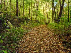
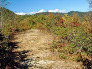
The main attraction is still the West Fork Trail, and it is an old roadbed, so it's wide and rocky. It's also steep - not terribly so, but it's relentless. It's about 7 miles out-and-back to the Pinnacle via this trail, with a climb of 1800 ft.
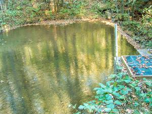
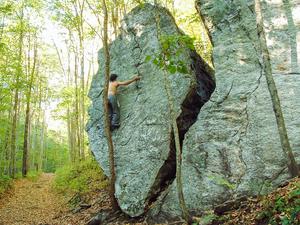
The trail follows Fisher Creek near the beginning. The stream has some water diversion structures and even a small pond and dam near the bottom, remaining from the days when it was used as a drinking water supply. Further up, the stream has some small cascades. The trail passes Split Rock - a huge, split boulder - after about 1/2 mile, where the climb begins in earnest. It goes through one switchback left, then back to the right, and crosses some small tributaries near the top. Stay left at the East Fork junction to reach the Pinnacle.
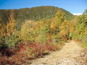
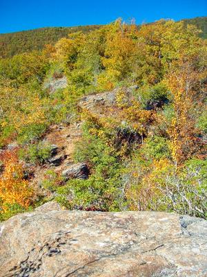
The forest is mainly mixed hardwoods with one or two spruces near the summit for good measure, and a semi-heath bald surrounds the Pinnacle itself. If you do venture out onto the Pinnacle, be warned that there is some minor rock climbing involved, and the sheer cliffs and drop-offs are to be avoided.
From the main trail, not including the named paths, faint side roads and skid paths lead off in all directions. All of them are overgrown and it should be obvious which is the main trail, especially with recent efforts put into blazing (purple and gold) and signage. There is a split about 2/3 of the way up, and you must make a left hand turn back to the west there to reach the Pinnacle. A fairly well used path goes right from that unmarked split. (I have not confirmed, but I've been told that this leads to Waterrock Knob on the Blue Ridge Parkway eventually, which is a destination listed on the trailhead sign). Both ancient trails are shown fairly accurately on the USGS Topo map of the area.
Directions
From downtown Sylva, take Skyland Drive east (SR 1432) and turn left onto Fisher Creek Road (SR 1446). The parking area is at the end of Fisher Creek Road. Note: the access drive to the parking is short, but was quite rough last time I visited.


