Starting on FS 74, this trail climbs old road beds up to the Laurel Gap trail (another, newer logging road). Beginning as a wide, eroded trough climbing through a gentle cove of mixed hardwoods, the trail climbs past the 4000 ft elevation contour...
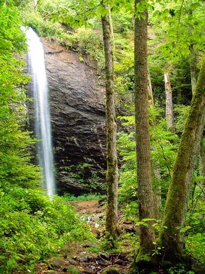
From FS 74, the trail begins as an easy, 0.5 mile route to its spectacular eponymous waterfall - a great family hike. There are a few tricky sections (including one where a fallen tree has exposed some slick bedrock), but overall the route is in...
Created for use in the movie "The Last of the Mohicans" ([supposedly](https://www.fs.usda.gov/recarea/nfsnc/recarea/?recid=48534)) and used in the opening scene. Passes through some of the oldest oak and poplar (tuliptree) forest in the area with...
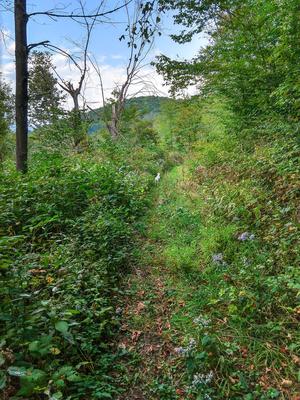
This is a long, late 80's era logging road (FS 5548) that traverses the forest roughly parallel to (but a higher elevation than) FS 74, the main road through Big Ivy. As much of the area was logged after this was constructed, the forest along this...
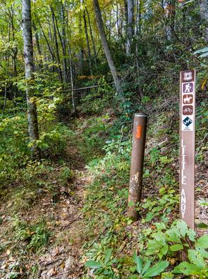
The trail climbs and follows a ridge above Little Andy Creek. The trail emerges on Laurel Gap Trail about 100 feet from Upper Corner Rock Trail on the left. You will pass a seemingly misplaced large granite boulder on the left.
Can be made into a...
Also known as Perkins Road. Climbs steeply on an old road bed from FS 74 to the Laurel Gap trail. Starts in a fairly nondescript cove hardwood forest setting but quickly reaches some areas with very large, impressive trees as it winds its way up into...
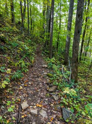
Steep climb or descent mostly on eroded old roadbeds. Follows creek near the bottom; ascends to ridge near the top where it flattens out and passes through a clearing before ending on FS 74. Passes through a nice mature hardwood forest with a...
Starting at FS 74, climbs moderately on a wide old road bed through a couple of switchbacks, first to the right and then to the left. Be sure not to take any mis-leading side trails leading away from the switchbacks on the old road. Traverses the...
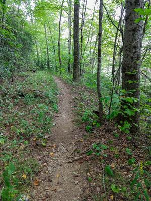
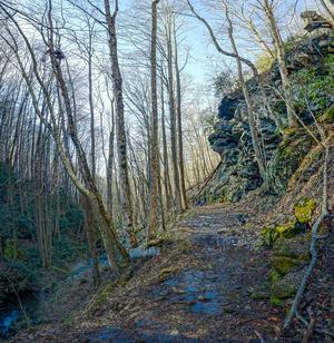
Ascends steeply on the ridge above the creek to FS 74. Travels through scenic mixed hardwood forests. The upper section is extremely rocky, and the rocks are slick when wet.
1.8mi, Climbs Moderately, Moderately Rough
Nearby Trails
The following trails cross into this trailhead area, but are primarily accessed from another trailhead:
Yes, this really is the trail's name. Starts at the left side (facing away from the road) of the Walker Knob Overlook in Balsam Gap on the Blue Ridge Parkway, heading downhill. (The trail to the right, heading uphill, is the Mountains to Sea Trail)....
**Pisgah Inn to Black Mountain Campground**
Pisgah Inn, BRP mp 408.6 to Folk Art Center, BRP mp 382: from the Pisgah Inn to the Mount Pisgah Parking Area, the trail is co-signed as the Buck Spring trail. This leads past the old Buck Spring Lodge...