National Geographic Trails Illustrated Map Series
National Geographic has been publishing a line of recreation-oriented maps under the Trails Illustrated name for many years now. While you can sometimes find more detailed maps of the area you'll be hiking, these are still quite serviceable. Over time, National Geographic has expanded the areas covered by the maps and made many improvements to the maps themselves.

Since they cover such a large area with a consistent style and reasonably high degree of accuracy, these maps are typically one of the better options you have when you want a printed map to bring along on the trail.
Other features of the Trails Illustrated maps include:
- Printed on tear-resistant, waterproof material.
- Folds into a convenient size for packing.
- Topographic data similiar to USGS quads.
- Updated with current trails and other features.
- Trails are easily identified by uses - hiking, biking, horseback riding, skiing.
- Many other points of interest are easily identified.
- Shows the boundaries between public and private land to facilitate cross-country travel.
Maps covering the WNC area are listed below.
- Great Smoky Mountains National Park (#229)
- Linville Gorge/Mount Mitchell (#779)
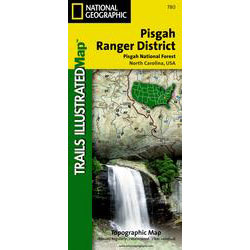
- Pisgah Ranger District (#780)
- French Broad and Nolichucy Rivers (#782)
- South Holston and Watauga Lakes (#783)
- Fontana & Hiwassee Lakes (#784)
- Nantahala & Cullasaja Gorges (#785)
These maps are all available at numerous online retailers for shipping or you can stop in at local outfitters to pick one up directly. They are also available digitally on the Avenza PDF Map Store. Keep in mind that GPS tracking on digital maps can quickly deplete your device's battery, so we recommend having a paper map on hand, especially for longer hikes!
