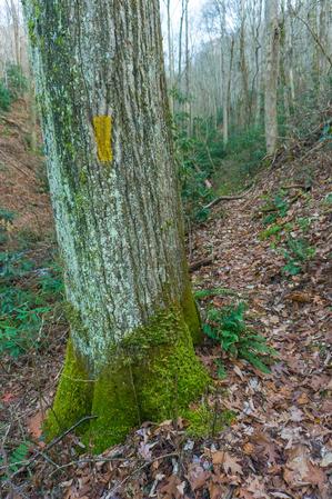
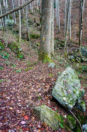
Loop trail winds its way up a lush cove beside the West Fork Shut-In Creek and some of its tributaries. Passes several old homesites in a lush cove with big boulders covered in soft moss. Most of the creek crossings are bridge except the upper...
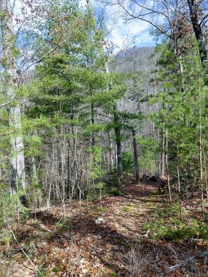
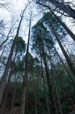
Following an old logging road, Bluff Mountain Loop trail winds its way up the West Fork Shut-In Creek drainage to an elevation of just over 3600 ft. It passes through a forest of mainly mixed hardwoods, including Tuliptree, Read and White Oak, Black...
Starting at the tip of the River Ridge Loop trail, Jack Branch climbs along an old road bed in places, while in others it slips away to amble along the ridge. The forest burned in the early 2000s in this area, giving it an open feeling except where...
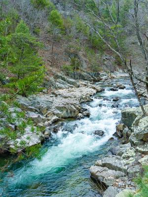
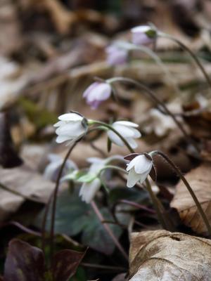
This trail follows Big Laurel Creek through a scenic gorge to its junction with the French Broad river at the old logging ghost town of Runion. This trail is especially nice in early spring when there are many wildflowers blooming along the path and...
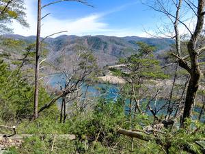
Climbs steeply from the Silvermine trailhead parking area to the Appalachian Trail, near the top of Lovers Leap Ridge. The Silvermine trailhead is across the French Broad River bridge from downtown Hot Springs. The main overlook, located at a rock...
This trail is named after a water pump near the trail. The pump delivered water to Runion, which is now a ghost town. The trail accesses the Appalachian Trail and may be used as a loop or as part of a loop with the AT. Aside from that, it doesn't...
This is a loop with a short section of out-and-back trail up to the loop portion. Described here in a counter-clockwise direction for the loop portion.
Starting at the picnic area, ascends the steep river valley on a nice, newly-built path through a...
This trail offers a walk through oak-hickory hardwood forests. The trail provides access from Hot Springs to the Rich Mountain Fire Tower. There is loop opportunity with the Appalachian Trail.
**Note**: a wildfire affected parts of this trail in...
Starting from the Appalachian Trail junction at Garenflo Gap, this trail enters the woods and begins a steady downhill grade. Most of the way, the trail follows a creek on an old wooded road. In most places, the trail accommodates side-by-side...
This trail offers a pleasant hike through a hardwood-pine forest and along a cascading mountain stream known for its trout fishing. Once part of the Brook's farm, an old house foundation, rock fences and a cemetary remain. Picnicking, restrooms,...
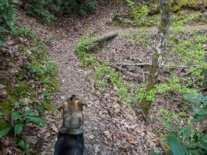
This trail offers a walk along streams and ridge tops where remains of old homesteads and fields are evident. The vegetation changes from low, dense vegetation along the stream to cove hardwoods and piney ridge tops. Picnicking, water, restrooms and...
2.7mi, Climbs Moderately,
Nearby Trails
The following trails cross into this trailhead area, but are primarily accessed from another trailhead: