Hikes in the Davidson River Trailhead Area
Here is a list of hikes in the Davidson River Trailhead area.
Each of the hikes has its own printable guide page with all the information and links, including (where available):
- directions to the starting point
- difficulty
- length
- elevation change
- a map
- photos from along the way, and
- a detailed description and trail directions.
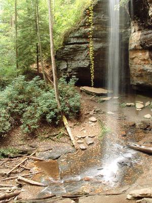
Cove Creek and Caney Bottom Hike


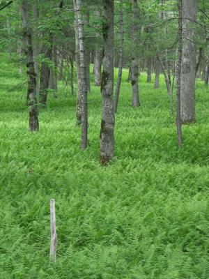
- Beautiful Pisgah scenery abounds on this classic loop hike, which travels past several nice waterfalls, through some flats above the Davidson River valley, and around seepage bogs and open, fern-filled woods. It's moderate overall; some of the...
- 4.2mi, Climbs Moderately
- Tread Condition: Moderately Rough
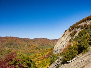
John Rock Loop Hike

- This hike takes you past a small but attractive waterfall, up to the top of John Rock, which is the large mountain you see looming behind the Fish Hatchery parking area in Pisgah National Forest. Views of the valley below, up to the Pisgah Ridge, and...
- 5mi, Climbs Steeply
- Tread Condition: Moderately Rough
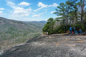
Looking Glass Rock Hike
- This hike takes you to the top of a Pisgah National Forest icon: the huge granitic pluton known as Looking Glass Rock. Visible from many locations along the Blue Ridge Parkway and found on postcards in every gift shop in the region, the summit of the...
- 6.4mi, Climbs Steeply
- Tread Condition: Moderately Rough
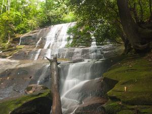
Moore Cove Falls Hike

- This showery plunging waterfall is located in one of the most popular areas of the Pisgah National Forest, near the Davidson River in the "Land of Waterfalls". It's a delightful, beautiful walk thru fern-filled woods. And it's easy enough for...
- 1.4mi, Climbs Gently
- Tread Condition: Few Obstacles
Pink Beds Loop Hike
- This relatively flat loop hike - which features a shortcut option - is all about water. You'll see rare mountain bogs, including glimpses of some rare and endangered species of plants if you're lucky. You'll pass through a forest in transition, as...
- 5.1mi, Few Hills
- Tread Condition: Some Obstacles
Ridgewalk Hike
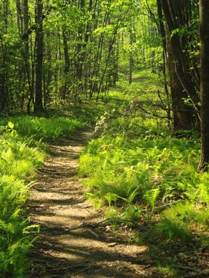
- Following the mostly level upper portion of the Bennet Gap trail, this is an easy hike along a ridge to some great views. It's one of the easiest true hikes into the kind of neat environment typical of a rugged Appalachian ridgetop that we could...
- 1.4mi, Few Hills
- Tread Condition: Some Obstacles

