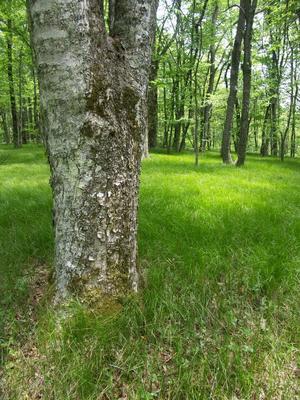
From the lower end at jct. with Haywood Gap Trail, the trail climbs steeply up an old logging skid road near Grassy Ridge Branch. The tread is narrow, but generally in good shape and worn well enough to be obvious. The mountainside here is steep and...
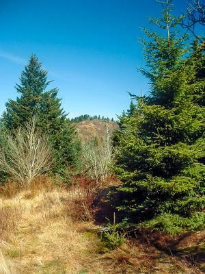
Climbs steeply from the river valley to the top of Green Mountain, and then travels along Fork Ridge. Variety of forest types culminating in a spruce-fir forest near the top. Scenic, wilderness travel.
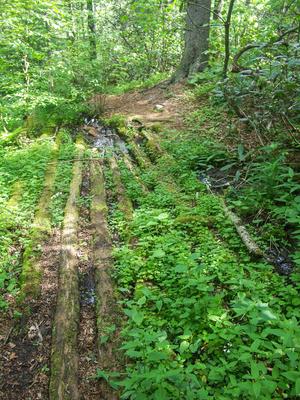
Starting at FR 97, Haywood Gap Trail climbs alongside the Middle Prong of the West Fork of the Pigeon River all the way up to the Mountains to Sea Trail about 75 yards from where it crosses the Blue Ridge Parkway at Haywood Gap. Parts of the trail...
5.8mi, Climbs Steeply, Very Rough
Nearby Trails
The following trails cross into this trailhead area, but are primarily accessed from another trailhead:
**Waterrock Knob to Pisgah Inn**
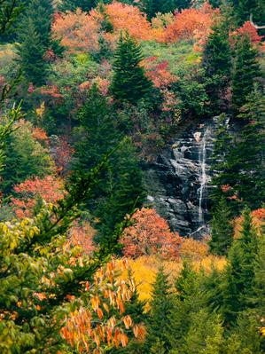
From Waterrock Knob to Flat Gap, the trail follows the Blue Ridge Parkway closely at most times. It gains some distance from the motor road on the southwest slope of the ridge line from there to Haywood Gap.
From...