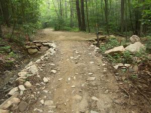
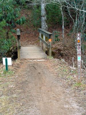
Easy trail with a beautifully engineered creek crossing on the upper end. From Boyd Branch Road, the trail is graveled to the creek crossing, which also has a hard gravel bottom and large flat paving stones on either side. The rest of the trail is...
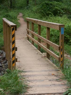
Connects the Bent Creek Campground with Bent Creek Gap Road. A smooth, level old roadbed which follows Bent Creek part of the way. Interpretive signs. Mixed pine-hardwood forest. Nice bridge right before intersection with Bent Creek Gap Road.
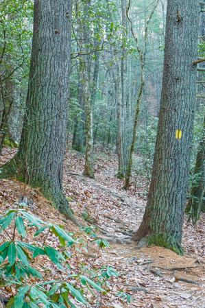
Since being re-worked to eliminate the straight-up-the-hill approach, this is a moderate climb through a couple of switchbacks. Only a few rocks and/or roots.
Though technically closed to bikes, it receives heavy bike usage and is none the worse for...
Short, nice loop. Have a few extra minutes after work and want to burn off some steam? This would be a good choice for a short hike. Steep in places; passes a small wildlife opening. A narrow portion in a nice cove traverses a steep slope and a...
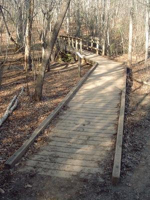
Starting at the Rice Pinnacle parking area, the trail is paved up to the former Deer Lake Lodge site and crosses a long wooden bridge along the way. Beyond the old lodge, which is now marked by a clearing on the right, the trail turns sharply left...
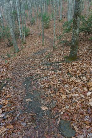
Travels on mostly old roadbeds; only a couple of steep sections. Crosses Beaten Branch a couple of times on the northeast end; this can be wet. Re-routed section near Cold Creek Knob Road is steeper with several switchbacks. Explorer Loop Alternate...
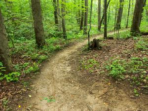
This trail was recently completely re-graded. Travels along the shore of Lake Powhatan. Passes through the beach area and past the dam, then downstream along Bent Creek. There are a few footbridges and some wet places, but it's otherwise a fairly...
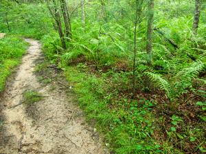
Connects Wolf Branch trail to Rice Pinnacle Road (FS 479E), crossing Wolf Branch at a muddy area with huge ferns along the way. Climbs moderately toward the road through a young forest. Watch for blazes.
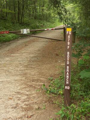
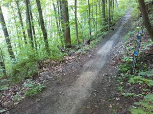
Starting at Boyd Branch Road, the trail climbs through several switchbacks through logged areas. The surface is a logging road which used to be a singletrack trail historically called Sidehill, but was revived into a road around 2005 (and is now...
A steep climb near the south end gives way to a sidehill traverse, mostly on old road beds, before descending to lower elevations and smaller hills near the north end. This is one of the more remote-feeling sections of trail in Bent Creek. Passes...
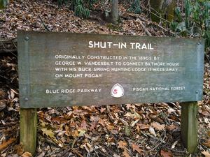
The Shut-In Trail is a long, historic route which shares the path with the Mountains to Sea Trail. It travels from NC 191 near Bent Creek and Asheville to the Mount Pisgah parking area. George W. Vanderbilt, builder of the famous Biltmore Estate near...
Most of this trail was turned into a road during 2005. From Ledford Gap to Boyd Branch Road, it is a gravel road and will be permanently maintained that way. Not a trail. From Boyd Branch Road to Ingles Field Gap, it is currently an unimproved road...
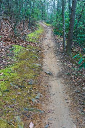
Follows a small creek through young, mixed forests with plenty of the usual rhododendron and mountain laurel. Has recently been re-graded with some new bridges installed. Pleasant walk.
Travels through the relatively flat stream bottom at the base of the mountains. Near the western end of this trail, you can see the hills rising out of the valley, and you'll start climb them before you reach Ledford Branch Road. Lots of ground pine,...
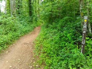
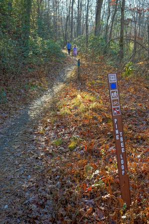
1.2mi, Climbs Moderately, Some Obstacles
Nearby Trails
The following trails cross into this trailhead area, but are primarily accessed from another trailhead:
**Pisgah Inn to Black Mountain Campground**
Pisgah Inn, BRP mp 408.6 to Folk Art Center, BRP mp 382: from the Pisgah Inn to the Mount Pisgah Parking Area, the trail is co-signed as the Buck Spring trail. This leads past the old Buck Spring Lodge...