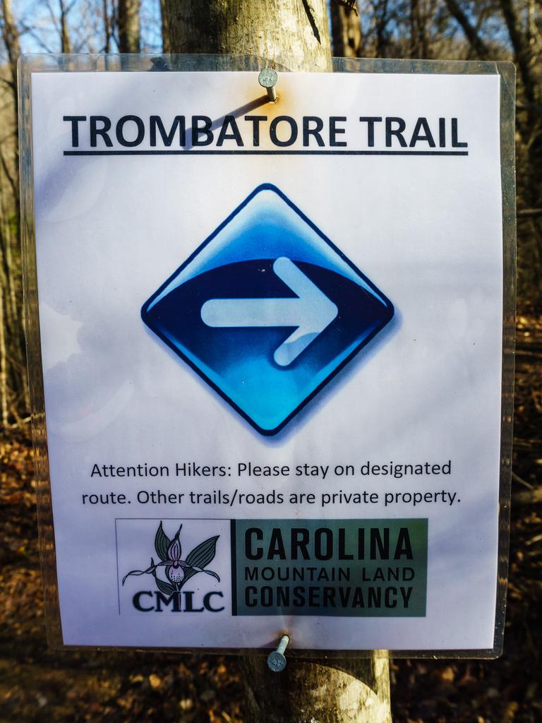
Trombatore Trail


At A Glance


2.5 mi one-way
Difficulty Rating: 2.5 ![]()
Steepness: Climbs Moderately ![]()
Tread Condition: Some Obstacles ![]()
Description
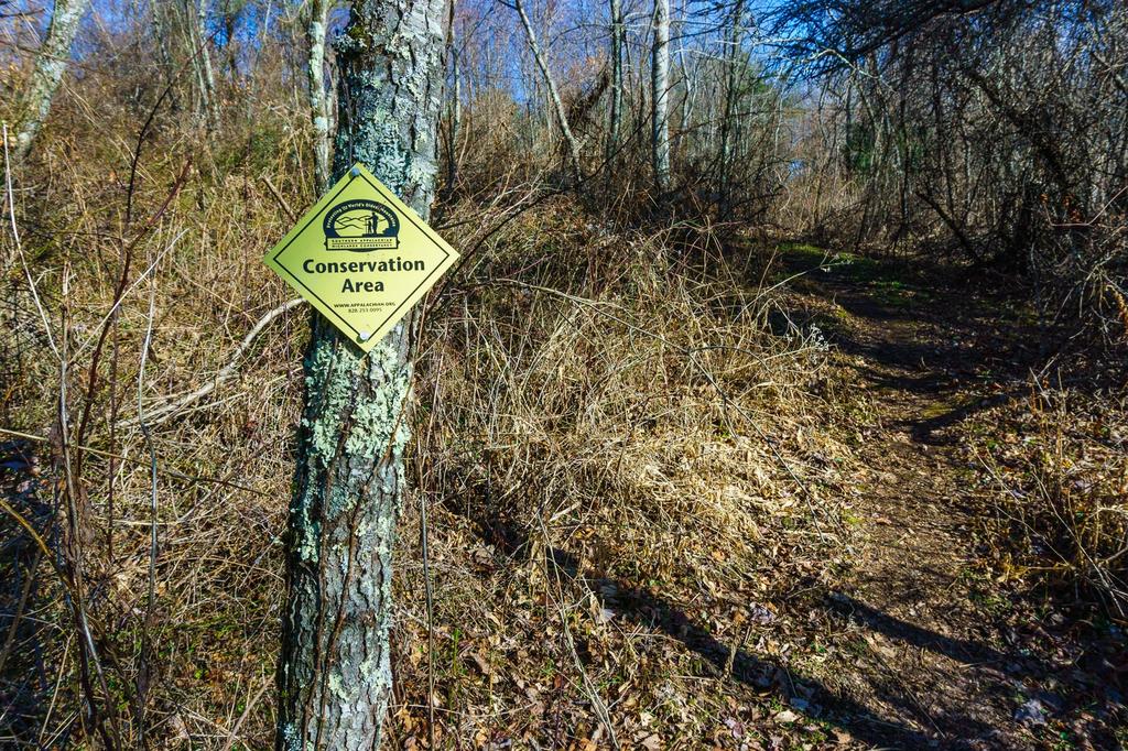
This newly designated trail follows segments of newly constructed path as well as some sections of old logging roads over an easement on private property. Starting at Bearwallow Gap, the trail descends on a new singletrack path through a series of switchbacks, in a high elevation forest filled with Carolina rhododendron and large, mossy boulders. It winds below the rock outcrops on Bearwallow Mountain before doubling back onto an old road to head uphill through the uppermost part of the Brush Creek stream valley. It swings left to cross the stream, then heads north along the west slope of the ridge. This section follows old roads.

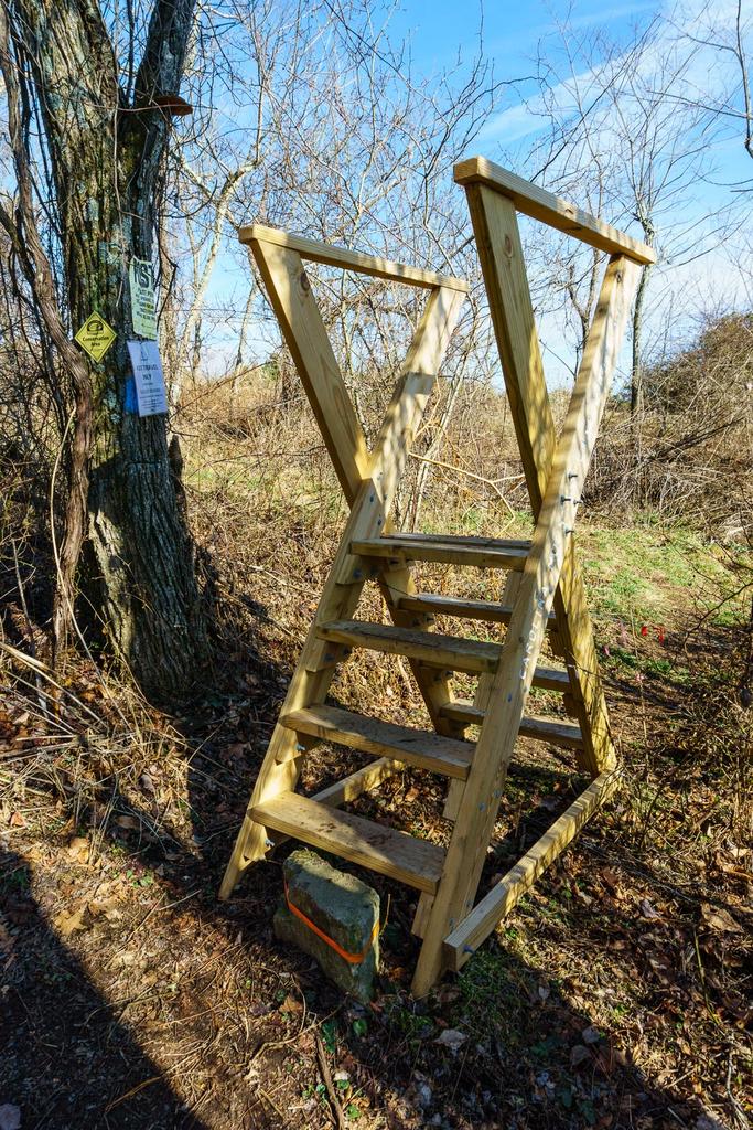
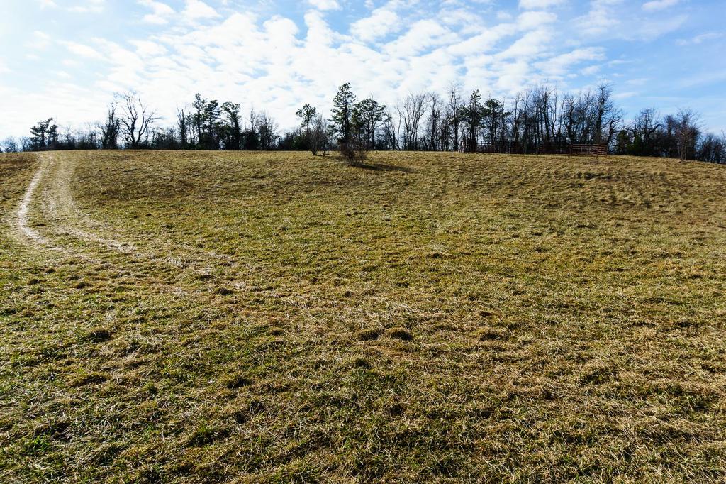
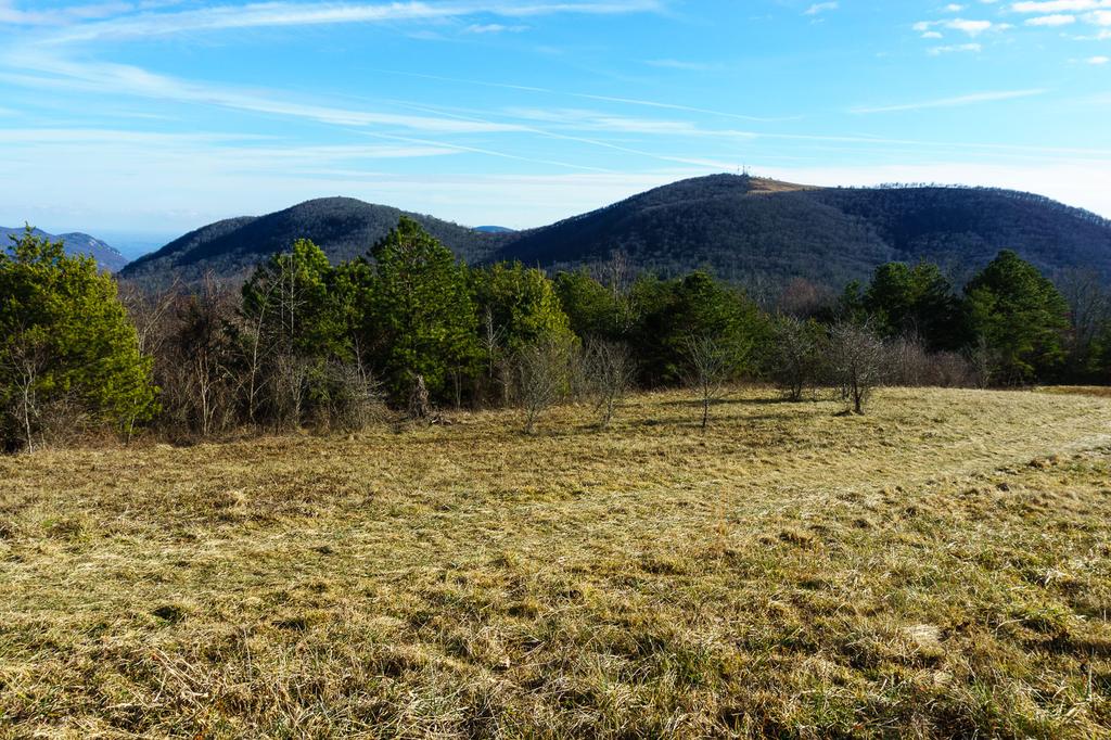
The trail picks up the crest of the ridge before swinging left onto the southwest slope again, before passing through an old home site. It climbs onto a newly constructed segment of narrow tread trail through a mixed forest filled with invasive vines in places. It then passes through a turnstile into Blue Ridge Pastures, an open meadow (sometimes used to graze cattle) with expansive views to the north and east on the Buncombe-Henderson County line. This is the official end of the trail, although future plans have it continuing north past Strawberry Gap, Ferguson Gap, and then Hickory Nut Gap and beyond.

Intersecting Trails
This trail is located in the Hickory Nut Gorge area. For a list of all the trails in that area, see the Hickory Nut Gorge trails list page.
This trail also crosses into these trailhead areas:
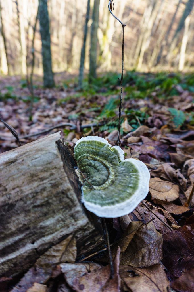
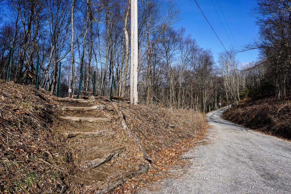
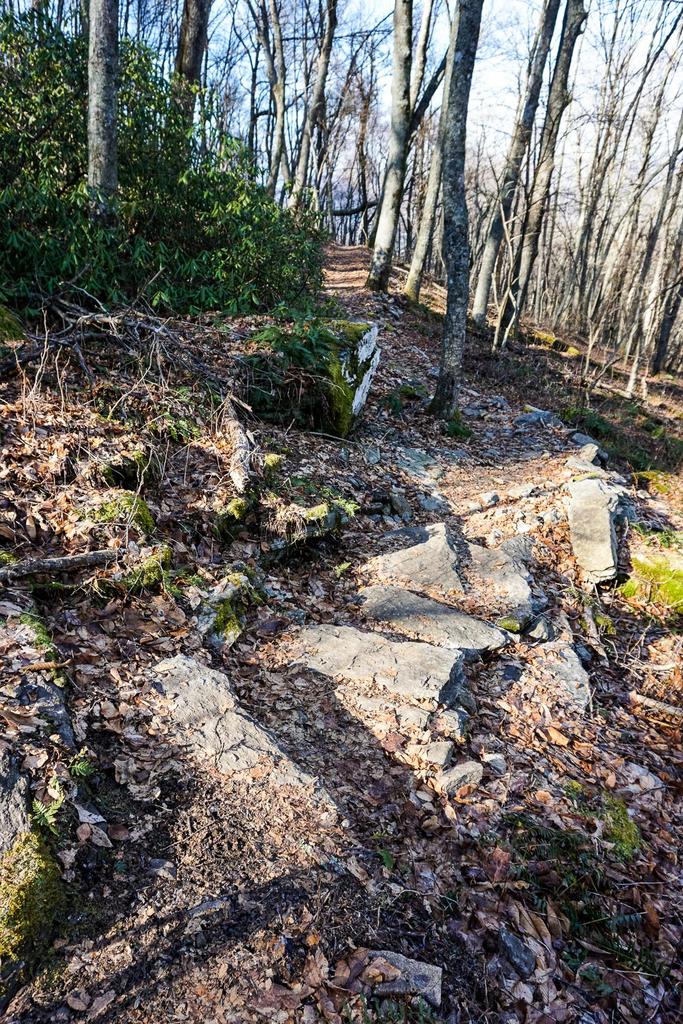
All Photos from the Trail


GPS Map
Map Information
Download GPS Data
Click on a route, trail, or point on the map and select the GPS Data tab to download its data.
Data Formats
KML (Google Earth)
KML is the main file type used by Google Earth. If you have Google Earth installed, clicking the KML link should open the trail or point directly in Google Earth for viewing. This is the native file format used by Google Earth, but many other map applications can use and understand KML as well, so if you're not sure which one to download, KML is a good bet.
GPX
The GPX format stands for GPS Exchange - a free, open, XML format for exchanging GPS and map data. GPX is compatible with Google Earth, many other mapping programs, and most GPS devices (such as Garmin). Load the file directly into your GPS to help find your way on your next trip!
GeoJSON
GeoJSON is a newer, lightweight data exchange format which can be used to quickly share map data and may have a smaller size than KML or GPX. Many professional mapping and GIS applications support the GeoJSON format.
About the Map
Copyright
Base Layers
Base layers provided by OpenStreetMap, the US Geological Survey, the US Forest Service, and NC OneMap. Base layer images are subject to the respective copyright policies of their owners. Base layers may not be available at all times due to system maintenance or outages.
WNCOutdoors Base Layer
The WNCOutdoors Base layer is provided by WNCOutdoors.info. It is licensed by Creative Commons Attribution 3.0.
Trail and Marker Overlays
Trail layers and downloadable data are all original works created by WNCOutdoors with guidance from a variety of sources, including ensembles of our own GPS tracks, user contributed GPS tracks, official maps and GIS data from government agencies, and field observations. WNCOutdoors data is made freely available under the Open Database License - you are free to copy and use it for any purpose under the terms of that license (summary).
Tips
- Hover over a trail to see it highlighted. Helps to see start and end points for an individual trail.
- Scroll and zoom the map before printing, and that view will persist into the printed image.
- Click a trail for more details and to download it individually.
Feedback
Ratings
Average Rating: 3.7 (rated 3 times)
Rate It Now:

BRENDA S SAUER said: We hiked this recently, having already hiked the Bearwallow Trail. Trombatore Trail has lots of markers insuring that hikers don't get off on the wrong trail. I applaud Conserving Carolina for all the trail markers but wanted to point out that there is a trail sign marking the first half mile, another for mile one and then the rest of the markers simply mark the trail by name. We kept looking for the marker for mile one and a half but never found that designation or any other distance on the remaining markers. So don't worry, you will be advancing down the trail even though you won't know how far unless you take a portable GPS or tracking app on your phone. I personally like the view from Bearwallow Trail better as it is more panoramic and the trail itself has more geographical diversity. Also, the summit at Trombatore has access via a logging road so I hope there is a project in the works to build and install benches or a picnic table or two at the top. After two and a half miles, it would have been nice to sit and enjoy the view, have a snack or lunch and rest the legs. Right now, there was only a log to sit on.
Chef Cocoa said: Is there any camping here?
George LeRoy said: View at the end is magnificent