Trails in the Standing Indian Basin Trailhead Area

Here is a list of all trails in the Standing Indian Basin Trailhead area.
Each trail has its own printable page with all the information and links, including (where available):
- directions to the starting point
- difficulty
- length
- elevation change
- a map
- photos from along the way, and
- a detailed description and trail directions.
For general information about the Standing Indian Basin trailhead, see the Standing Indian Basin Trailhead page.
Need to find trails by another method? Go back to Trails.

Bear Pen Gap Trail


Beech Gap Trail
Betty Creek Gap Trail
Big Indian Loop Trail


Big Laurel Falls Trail

Blackwell Gap Loop Trail
Hurricane Creek Loop Trail
John Wasilik Memorial Poplar Trail
Kimsey Creek Trail
Long Branch Trail
Lower Ridge Trail

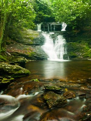
Mooney Falls Trail
Park Creek Trail
Park Ridge Trail
Pickens Nose Trail
