Summit Path
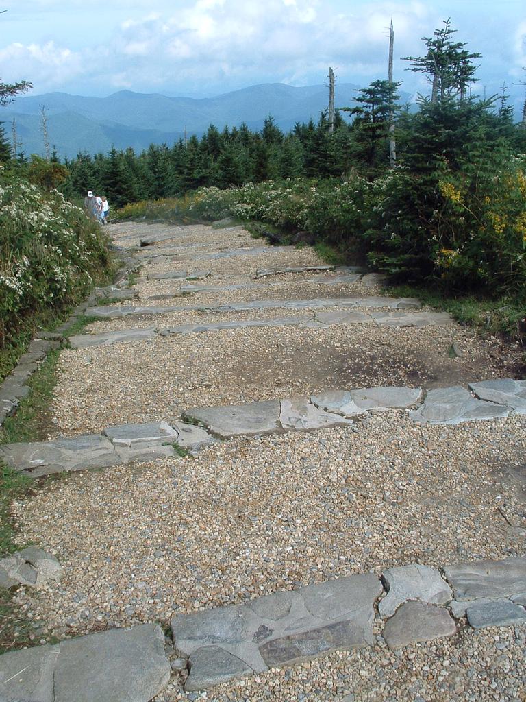
Halfway up the summit path, you'll reach the old museum building (now the Environmental Education building) and this view is what you used to see looking back down the path. It's now paved. Behind where I was standing to take the picture is an intersection, and the museum building was on my right.
The Mountains to Sea Trail comes in to this path from the left, at the Old Mitchell Trail intersection, down where those people are. It then turns left at the intersection behind me and heads down to the Black Mountain campground, some 3600' down and 5.5 miles away. That section of trail - from the intersection to the campground - is called the Mount Mitchell trail. It's an accepted peak bagging route for the South beyond 6000' club.
Also starting at the intersection behind me is the Balsam Nature Trail. It loops through the cool woods below the summit and ends up in the parking lot, passing a short spur to the highest spring in the Eastern US on the way. Pick up a pamphlet describing stops along the nature trail at the concession stand or park office as you come in to the park.
From here, turn right at the intersection. It is just a few more feet to the 6684' summit!
