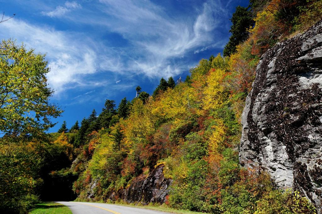
Hiking the Blue Ridge Parkway
The Blue Ridge Parkway winds for 469 miles along the spine of the southern Appalachians, connecting Shenandoah National Park in Virginia with the Great Smoky Mountains National Park on the North Carolina/Tennessee border.

Under the auspices of the National Park Service, the Parkway provides many great hiking opportunities along its length. Trails to soaring peaks, or plunging waterfalls - take your pick! Want a flat, easy loop through tall trees? Or a steep, rugged trail through mountain meadows? They're both waiting along the Blue Ridge Parkway.
Since the Blue Ridge Parkway spans over 250 miles within North Carolina, we have divided it into six sections about 40 to 50 miles in length to be used as Trailhead areas on this site. Though the cut-off points are somewhat arbitrary, they were envisioned such that you should have enough time to drive on the Parkway from one end of a section to the other, complete a hike or two, and return, all within a reasonable day trip.
Blue Ridge Parkway Sections
Section 1
Virginia State Line (MP 217) to NC Hwy. 16 (MP 261).
Highlights:
Lies along the edge of the Blue Ridge escarpment, where the high, rolling lands of the Blue Ridge drop off steeply to the Piedmont to the East.
Recreation Areas:
- Cumberland Knob
- Doughton Park


