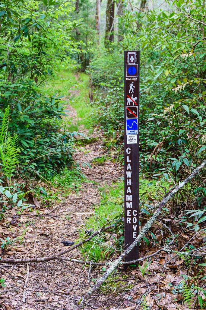
Clawhammer Cove Trail


At A Glance


1.5 mi one-way
Difficulty Rating: 1.5 ![]()
Steepness: Climbs Moderately ![]()
Blaze Color: Blue
Trail Number: 342
Description
This is a pleasant hike that begins in a small meadow before climbing gently up Clawhammer Cove. There are some nice cascades that can be seen from the trail. Shortly after crossing the creek, the trail follows an old road up the shoulder of a ridge. For an interesting side trip, continue upstream a short way to a small waterfall. After the trail leaves the creek, the grade becomes steeper, passing through hardwood forests and crossing several wet areas. The trail ends on Clawhammer Road (FS 5058), which is a gated logging road open to hiking, biking, and equestrian use. If you turn right on the logging road, it is 2 miles back to Avery Creek Road (FS 477), where a right turn and an additional ¼ mile hike will return you to the to the Avery Creek trailhead.
This trail is located in the Davidson River area. For a list of all the trails in that area, see the Davidson River trails list page.
All Photos from the Trail
Feedback
Ratings
Average Rating: 2.1 (rated 73 times)
Rate It Now:

No comments yet.