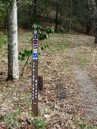
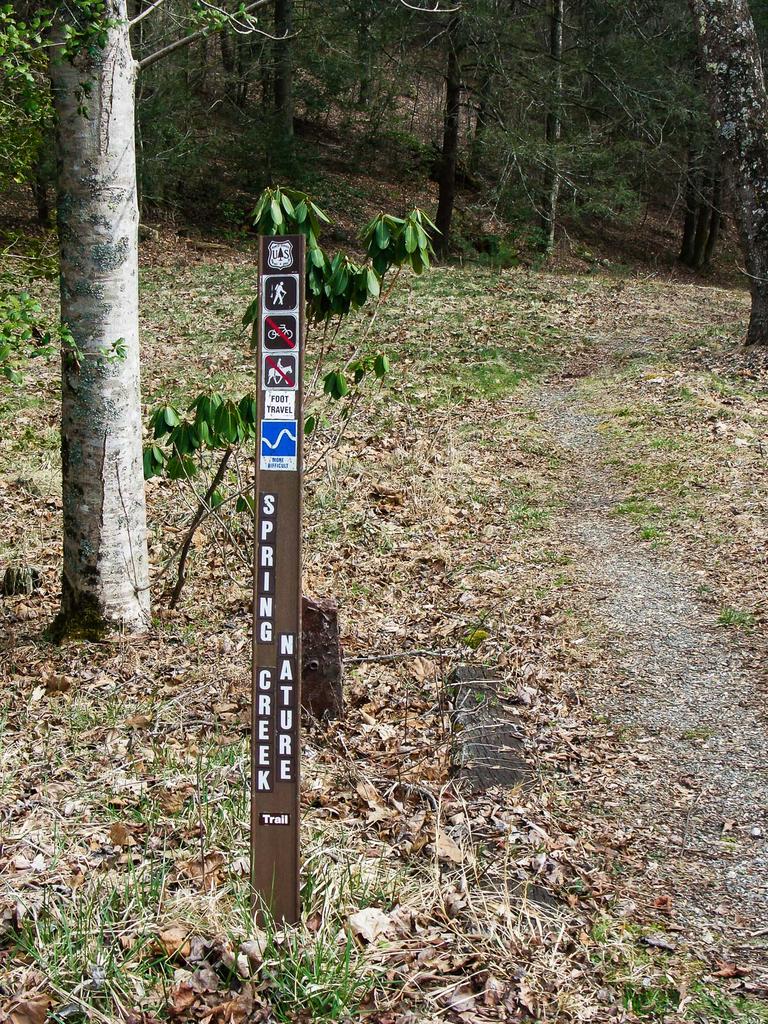
Spring Creek Nature Trail

At A Glance


1.6 mi one-way
Difficulty Rating: 1.6 ![]()
Steepness: Climbs Gently ![]()
Trail Number: 312
Description
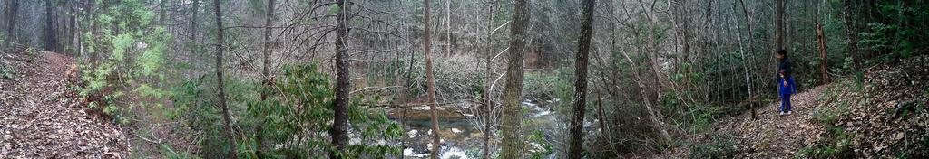
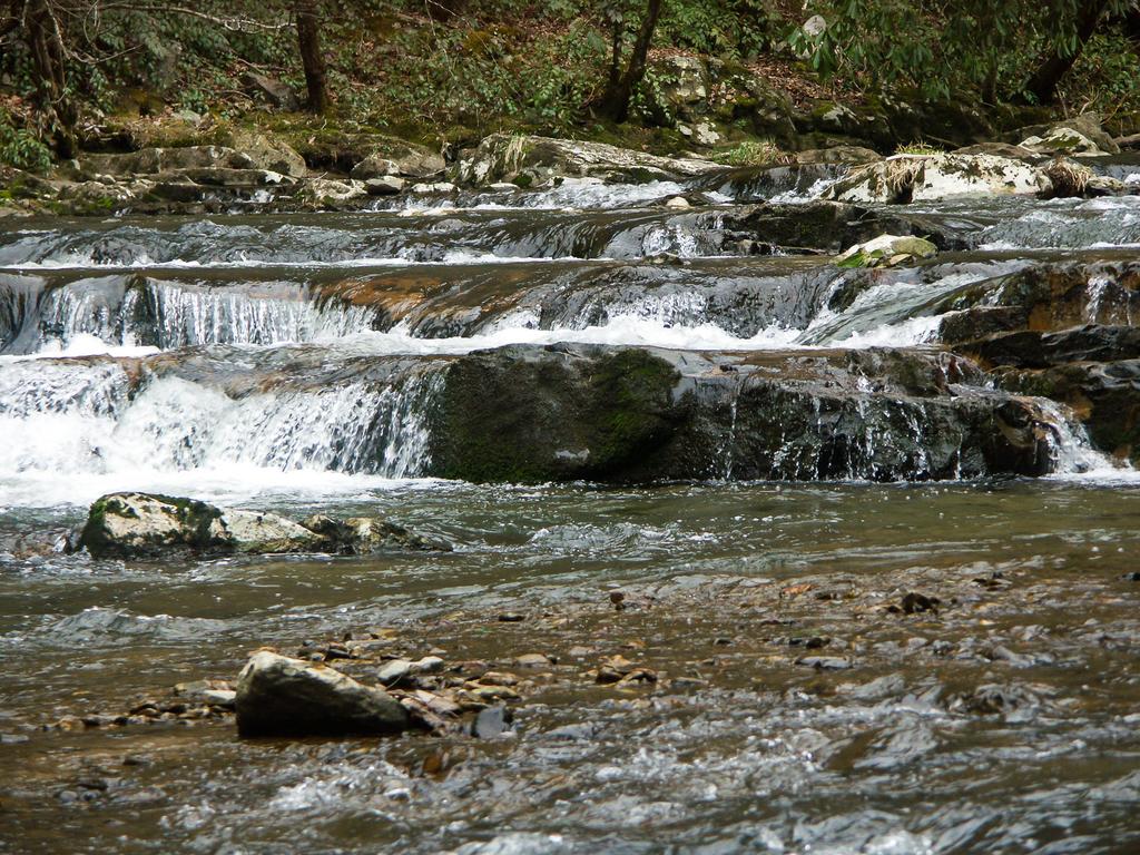
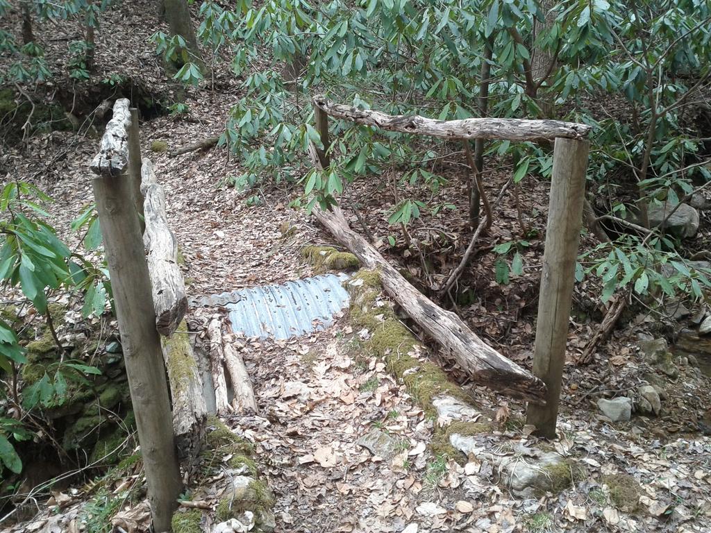
This trail offers a pleasant hike through a hardwood-pine forest and along a cascading mountain stream known for its trout fishing. Once part of the Brook's farm, an old house foundation, rock fences and a cemetary remain. Picnicking, restrooms, water and camping are available at Rocky Bluff Campground from May through October.
Intersecting Trails
This trail is located in the Hot Springs area. For a list of all the trails in that area, see the Hot Springs trails list page.
All Photos from the Trail
GPS Map
Map Information
Download GPS Data
Click on a route, trail, or point on the map and select the GPS Data tab to download its data.
Data Formats
KML (Google Earth)
KML is the main file type used by Google Earth. If you have Google Earth installed, clicking the KML link should open the trail or point directly in Google Earth for viewing. This is the native file format used by Google Earth, but many other map applications can use and understand KML as well, so if you're not sure which one to download, KML is a good bet.
GPX
The GPX format stands for GPS Exchange - a free, open, XML format for exchanging GPS and map data. GPX is compatible with Google Earth, many other mapping programs, and most GPS devices (such as Garmin). Load the file directly into your GPS to help find your way on your next trip!
GeoJSON
GeoJSON is a newer, lightweight data exchange format which can be used to quickly share map data and may have a smaller size than KML or GPX. Many professional mapping and GIS applications support the GeoJSON format.
About the Map
Copyright
Base Layers
Base layers provided by OpenStreetMap, the US Geological Survey, the US Forest Service, and NC OneMap. Base layer images are subject to the respective copyright policies of their owners. Base layers may not be available at all times due to system maintenance or outages.
WNCOutdoors Base Layer
The WNCOutdoors Base layer is provided by WNCOutdoors.info. It is licensed by Creative Commons Attribution 3.0.
Trail and Marker Overlays
Trail layers and downloadable data are all original works created by WNCOutdoors with guidance from a variety of sources, including ensembles of our own GPS tracks, user contributed GPS tracks, official maps and GIS data from government agencies, and field observations. WNCOutdoors data is made freely available under the Open Database License - you are free to copy and use it for any purpose under the terms of that license (summary).
Tips
- Hover over a trail to see it highlighted. Helps to see start and end points for an individual trail.
- Scroll and zoom the map before printing, and that view will persist into the printed image.
- Click a trail for more details and to download it individually.
Feedback
Ratings
Average Rating: 4.5 (rated 2 times)
Rate It Now:

Ed Bitsy and the Trail Hound said: We hiked this trail on November 28, 2017. Trail starts inside the park and it is well marked and easy to moderate walking. The section along side the creek is beautiful and offers several places to stop and take pictures. It actually has some benches for resting and enjoying the views! IMO, start at the north (upper) entrance and you will experience the steeper section "downhill" through the woods before you get to the creek.
Robert Singleton said: This trail is a delightful hike along the lovely Spring Creek, whose clear waters cascade over dramatic rock formations. The trail follows the creek for about a mile and provides high views from the ridge as well as dropping to the creek in several places. The trail itself is well tended but has some rough footage in places. The creek is at a considerably lower elevation than the trailhead, so the ascent/descent is fairly strenous. The convenience of the picnic area makes for a perfect combination.