Mountains to Sea Section 3 Trail

At A Glance


67.7 mi one-way
Difficulty Rating: 67.7 ![]()
Steepness: Hilly ![]()
Tread Condition: Moderately Rough ![]()
Blaze Color: White
Hikes That Use This Trail: Craggy Gardens, Rattlesnake Lodge, Potato Knob Fields, Old Mitchell, Mount Mitchell, Snowball
Description
Pisgah Inn to Black Mountain Campground
Pisgah Inn, BRP mp 408.6 to Folk Art Center, BRP mp 382: from the Pisgah Inn to the Mount Pisgah Parking Area, the trail is co-signed as the Buck Spring trail. This leads past the old Buck Spring Lodge built by George Vanderbilt, where there are interpretive signs. From the parking area, the trail joins with the Mount Pisgah trail which leads to the top of Mount Pisgah itself. Continuing toward Asheville, the trail is co-signed as the Shut-in Trail and follows parts of Vanderbilt's original route to the Lodge from his Estate. Follows the Parkway closely along this section and meets up with it several times. Good day-hikes can be made from these sections of trail. Joins with trails leading to the Mills River and Bent Creek areas of Pisgah National Forest.
The trail then crosses the French Broad River, Interstate 26, US highways 25, 74-A, and 74 on bridges with the Blue Ridge Parkway as it skirts the Asheville area on a relatively low elevation and low relief stretch. At the Folk Art Center, the trail begins climbing again toward Mount Mitchell.
From the Folk Art Center, BRP mp 382 to Balsam Gap at BRP mp 359.8. Follows the Blue Ridge Parkway closely most of this segment. Travels from the low-elevation area near Asheville on a mostly gentle climb to Bull Gap near Ox Creek Road. Follows a historic carriage trail through many switchbacks to Rattlesnake Lodge, one of the best hikes in the region. Ascends more steeply to Lane Pinnacle, where there are great views, then undulates over to the picnic area at Craggy Gardens, a high elevation area. A popular, heavily traveled section of trail goes from the picnic area to near the Craggy Visitor Center. Passes through the gardens and a historic trail shelter on this stretch and is also known as the Craggy Gardens trail.
The MST splits left, downhill, and goes to the junction w/ Douglas Falls trail. The trail then Climbs back to the Parkway and follows it closely, up and down, to Balsam Gap. There are some spectacular views on this part of the ridge, of the Black and Craggy Mountains, the Asheville watershed, and northern Buncombe County.
From Balsam Gap, BRP mp 359.8 to the Black Mountain Recreation Area by the South Toe River: climbs Blackstock Knob in a spruce-fir forest above Asheville Watershed. Follows knife-like ridge, then descends on an amazingly well-built section of trail to fields below Potato Knob. Fantastic veiws of Asheville reservoir. Descends to Mount Mitchell Road, NC 128. The segment from NC 128 up to Potato Knob Fields is one of the best hikes in the region.
Past NC 128, the trail climbs gently, co-signed with the Buncombe Horse Range trail (on an old railroad bed) thru high-elevation hardwood forest to point near Camp Alice at Mount Mitchell State Park. Here it turns left; ascends very steeply on a segment co-signed with the Camp Alice trail to Mount Mitchell's summit, the highest point east of the Mississippi River at 6,684'. The trail then descends 3600' in 5.5 miles to the Black Mountain Campground via the Mount Mitchell trail where there are old-growth spruce forests. This last segment, from the summit to the campground, is the Mount Mitchell hike on this site.
Intersecting Trails
This trail is located in the Blue Ridge Parkway Section 5 area. For a list of all the trails in that area, see the Blue Ridge Parkway Section 5 trails list page.
This trail also crosses into these trailhead areas:
- Bent Creek (Trail List)
- Big Ivy (Coleman Boundary) (Trail List)
- Black Mountains & Toe River (Trail List)
- Blue Ridge Parkway Section 4 (Trail List)
- Craggy Gardens (Trail List)
- Mills River (Trail List)
- Mount Mitchell State Park (Trail List)
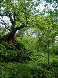
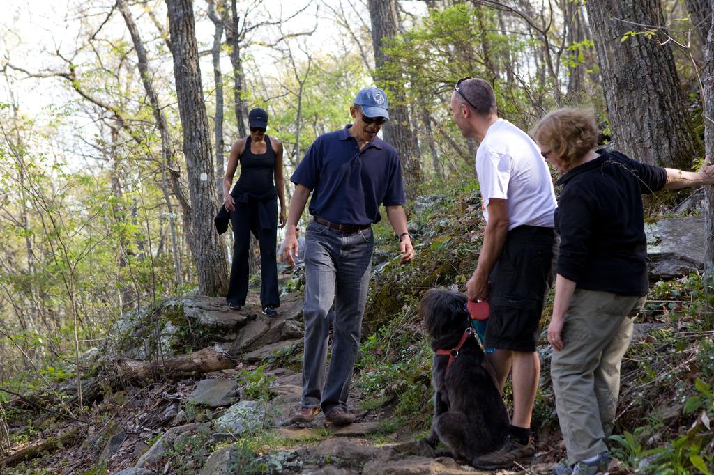
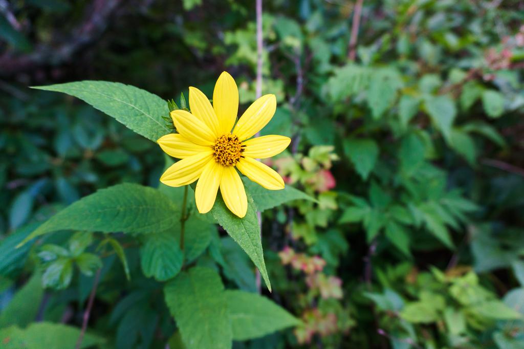
All Photos from the Trail


GPS Map
Map Information
Download GPS Data
Click on a route, trail, or point on the map and select the GPS Data tab to download its data.
Data Formats
KML (Google Earth)
KML is the main file type used by Google Earth. If you have Google Earth installed, clicking the KML link should open the trail or point directly in Google Earth for viewing. This is the native file format used by Google Earth, but many other map applications can use and understand KML as well, so if you're not sure which one to download, KML is a good bet.
GPX
The GPX format stands for GPS Exchange - a free, open, XML format for exchanging GPS and map data. GPX is compatible with Google Earth, many other mapping programs, and most GPS devices (such as Garmin). Load the file directly into your GPS to help find your way on your next trip!
GeoJSON
GeoJSON is a newer, lightweight data exchange format which can be used to quickly share map data and may have a smaller size than KML or GPX. Many professional mapping and GIS applications support the GeoJSON format.
About the Map
Copyright
Base Layers
Base layers provided by OpenStreetMap, the US Geological Survey, the US Forest Service, and NC OneMap. Base layer images are subject to the respective copyright policies of their owners. Base layers may not be available at all times due to system maintenance or outages.
WNCOutdoors Base Layer
The WNCOutdoors Base layer is provided by WNCOutdoors.info. It is licensed by Creative Commons Attribution 3.0.
Trail and Marker Overlays
Trail layers and downloadable data are all original works created by WNCOutdoors with guidance from a variety of sources, including ensembles of our own GPS tracks, user contributed GPS tracks, official maps and GIS data from government agencies, and field observations. WNCOutdoors data is made freely available under the Open Database License - you are free to copy and use it for any purpose under the terms of that license (summary).
Tips
- Hover over a trail to see it highlighted. Helps to see start and end points for an individual trail.
- Scroll and zoom the map before printing, and that view will persist into the printed image.
- Click a trail for more details and to download it individually.
Trail Segments
Trails are often made up of several connecting paths which may have different characteristics, allowed uses, and seasons. This trail is divided into multiple segments as follows:
Mountains to Sea Trail - Pisgah Inn to Pilot Rock Trail
- Allowed Uses: Hiking
- Length: 0.74 mi
Mountains to Sea Trail - Pilot Rock Trail to Laurel Mountain Trail
- Allowed Uses: Hiking
- Length: 0.13 mi
Mountains to Sea Trail - Laurel Mountain Trail to Buck Spring Lodge Site
- Allowed Uses: Hiking
- Length: 0.22 mi
Mountains to Sea Trail - Buck Spring Lodge Site to Parking
- Allowed Uses: Hiking
- Length: 498 ft
Mountains to Sea Trail - Buck Spring Parking to Mount Pisgah Parking
- Allowed Uses: Hiking
- Length: 0.21 mi
Mountains to Sea Trail - Shut-In - Mt. Pisgah Parking to NC 151
- Allowed Uses: Hiking
- Length: 1.75 mi
Mountains to Sea Trail - Shut-In - NC 151 to Big Ridge Overlook/Glady Fork Gap
- Allowed Uses: Hiking
- Length: 2.23 mi
Mountains to Sea Trail - Shut-In - Big Ridge Overlook/Glady Fork Gap to Stony Bald Overlook
- Allowed Uses: Hiking
- Length: 1.13 mi
Mountains to Sea Trail - Shut-In - Stony Bald Overlook to Beaver Dam Gap Overlook
- Allowed Uses: Hiking
- Length: 0.85 mi
Mountains to Sea Trail - Shut-In - Beaver Dam Gap Overlook to Bent Creek Gap
- Allowed Uses: Hiking
- Length: 1.86 mi
Mountains to Sea Trail - Shut-In - Bent Creek Gap to Chestnut Cove Overlook
- Allowed Uses: Hiking
- Length: 2.65 mi
Mountains to Sea Trail - Shut-In - Chestnut Cove Overlook to Sleepy Gap
- Allowed Uses: Hiking
- Length: 0.79 mi
Mountains to Sea Trail - Shut-In - Sleepy Gap to NC 197
- Allowed Uses: Hiking
- Length: 5.02 mi
Mountains to Sea Trail - NC 197 to
- Allowed Uses: Hiking
- Length: 12.95 mi
Mountains to Sea Trail - Folk Art Center to Bull Gap
- Allowed Uses: Hiking
- Length: 7.34 mi
Mountains to Sea Trail - Bull Gap to Rattlesnake Lodge
- Allowed Uses: Hiking
- Length: 1.39 mi
Mountains to Sea Trail - Rattlesnake Lodge Site to Spring
- Allowed Uses: Hiking
- Length: 0.72 mi
Mountains to Sea Trail - Lane Pinnacle to Potato Field Gap
- Allowed Uses: Hiking
- Length: 1.33 mi
Mountains to Sea Trail - Potato Field Gap to Snowball Tr.
- Allowed Uses: Hiking
- Length: 0.61 mi
Mountains to Sea Trail - Snowball Tr. to Beetree Gap
- Allowed Uses: Hiking
- Length: 518 ft
Mountains to Sea Trail - Beetree Gap to Craggy Gardens Picnic Area
- Allowed Uses: Hiking
- Length: 0.61 mi
Mountains to Sea Trail - Craggy Gardens Picnic Area to Gardens tr. W
- Allowed Uses: Hiking
- Length: 0.46 mi
Mountains to Sea Trail - Craggy Gardens Shelter
- Allowed Uses: Hiking
- Length: 68 ft
Mountains To Sea Trail Section 08 - Gardens Tr. E. to Visitor Center Spur
- Allowed Uses: Hiking
- Length: 0.2 mi
Mountains to Sea Trail - Visitor Center Spur to Douglas Falls Tr.
- Allowed Uses: Hiking
- Length: 0.99 mi
Mountains to Sea Trail - Douglas Falls Tr. to Graybeard Overlook
- Allowed Uses: Hiking
- Length: 1.48 mi
Mountains to Sea Trail - Graybeard Overlook to Views Section
- Allowed Uses: Hiking
- Length: 0.93 mi
Mountains to Sea Trail - Views Section to Glassmine Falls Overlook
- Allowed Uses: Hiking
- Length: 1.3 mi
Mountains to Sea Trail - Glassmine Falls Overlook
- Allowed Uses: Hiking
- Length: 179 ft
Mountains to Sea Trail - Glassmine Falls Overlook to Balsam Gap
- Allowed Uses: Hiking
- Length: 1.26 mi
Mountains to Sea Trail - Balsam Gap to Potato Knob Fields
- Allowed Uses: Hiking
- Length: 3.73 mi
Mountains to Sea Trail - Potato Knob Fields to NC 128
- Allowed Uses: Hiking
- Length: 0.99 mi
Mountains to Sea Trail - NC 128 to Buncombe Horse Range Tr.
- Allowed Uses: Hiking
- Length: 0.16 mi
Mountains to Sea - Buncombe Horse Range - to Camp Alice
- Allowed Uses: Hiking
- Length: 3.27 mi
Commissary - Camp Alice to Buncombe Horse
- Allowed Uses: Hiking
- Length: 0.32 mi
Camp Alice
- Allowed Uses: Hiking
- Length: 0.39 mi
Old Mitchell - Camp Alice Tr. to Campground Spur
- Allowed Uses: Hiking
- Length: 0.18 mi
Old Mitchell - Campground Spur to Summit
- Allowed Uses: Hiking
- Length: 0.16 mi
Mount Mitchell Summit - Mountains to Sea - to Balsam Nature
- Allowed Uses: Hiking
- Length: 248 ft
Mount Mitchell Summit - To Summit
- Allowed Uses: Hiking
- Length: 505 ft
Mount Mitchell - Mountains to Sea - Balsam Nature
- Allowed Uses: Hiking
- Length: 0.25 mi
Mountains to Sea Trail - Mount Mitchell - Buncombe Horse Range to Balsam Nature Trail
- Allowed Uses: Hiking
- Length: 1.2 mi
Mountains to Sea - Buncombe Horse Range - Mount Mitchell
- Allowed Uses: Hiking
- Length: 320 ft
Mountains to Sea Trail - Mount Mitchell - Higgins Bald to Buncombe Horse Range
- Allowed Uses: Hiking
- Length: 1.1 mi
Mountains to Sea Trail - Mount Mitchell - Between Higgins Bald
- Allowed Uses: Hiking
- Length: 0.92 mi
Mountains to Sea - Mount Mitchell - Campground to Higgins Bald
- Allowed Uses: Hiking
- Length: 1.39 mi
Mountains to Sea Trail - Rattlesnake Lodge to Lane Pinnacle
- Allowed Uses: Hiking
- Length: 2.52 mi
Total Calculated Length: 66.17 mi
This value is derived from our underlying map data, and it may not match officially published information.
Feedback
Ratings
Average Rating: (rated 0 times)
Rate It Now:

No comments yet.