Hiking in Florence Nature Preserve
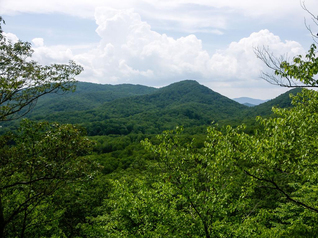
Located between Chimney Rock and Gerton, NC, at the upper end of the Hickory Nut Gorge, the Florence Nature Preserve was finished being acquired by the Carolina Mountain Land Conservancy in 2001. With the help of Dr. Tom and Glenna Florence, over 600 acres of land were placed under protection from development.


The tract was not open to the public at first, and until recently, finding parking nearby was difficult. But now, a new parking area has been opened as the Upper Hickory Nut Gorge Trailhead, and an excellent connector trail takes visitors into the preserve. This has become a great hiking destination not too far from Asheville, NC - and a great free alternative to Chimney Rock Park for hiking in the Hickory Nut Gorge area.
Hiking Trails
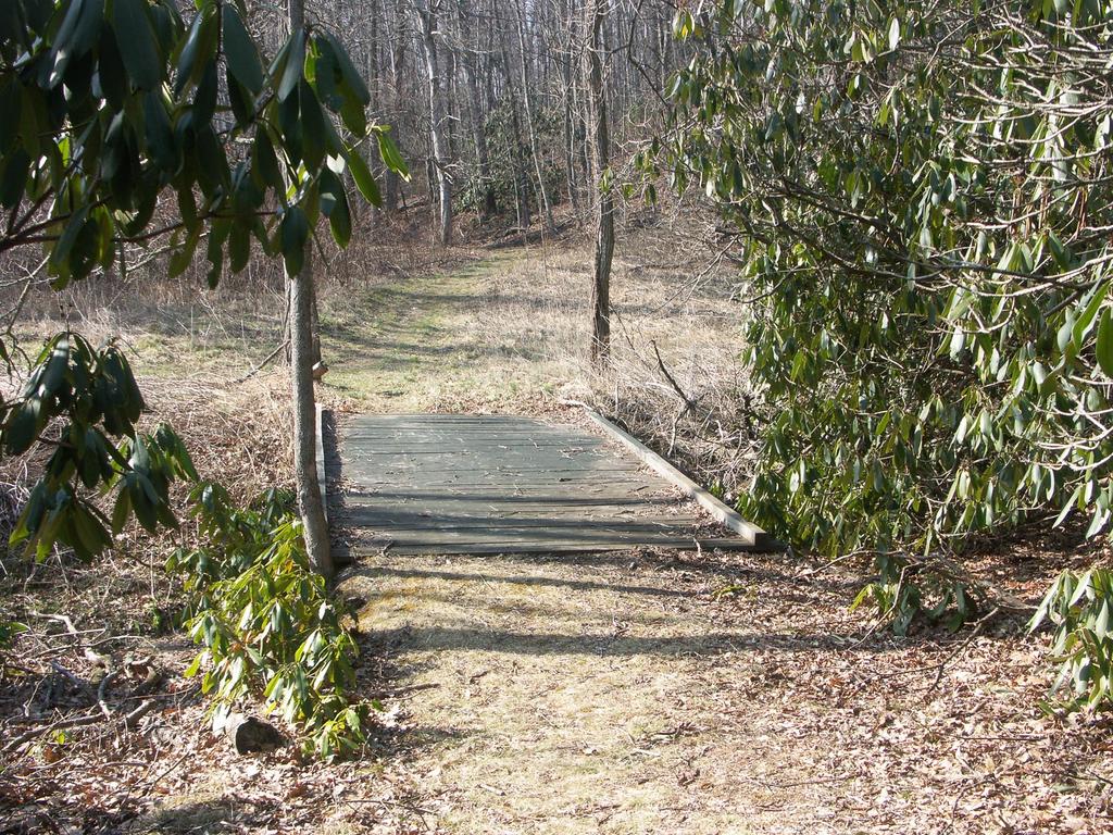
A 5-mile network of trails winds throughout the preserve. A couple of sections are tied together with gravel roads. None of the trails are officially named, but they are referred to by the color on the map (and on the blazes). However - there are duplicate colors, so I'll throw in additional info to identify trails when referring to them.
The yellow connector trail which connects the parking area to the blue trail is a brand-new, well-constructed alternative to the old, steep, eroded path which used to serve the same purpose. This trail is expertly routed past some neat features. Although steep near the bottom, it's moderate overall.

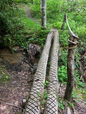
The blue trail climbs from the old parking area on Kelly Mountain Road, up alongside the main creek in the preserve, crossing it several times, before traversing the upper end of a ridge and going into the next creek valley. It ends at a gravel road.
The red trail climbs from Kelly Mountain Road up the ridge to the west of the blue trail, intersecting with it near the its top.
The white trail climbs from the blue trail, up over the ridge and intersecting the red trail, before descending into the next creek valley and ending on a gravel road.
There are three orange trails, two of which are spur trails. The one connecting to the Blue trail leads to Little Pisgah Point, a rock outcropping beneath the canopy (there are no views there). Another, which connects to the Red trail, leads to an overlook facing southwest with some nice views. The third connects two points on a gravel road with a ridge-top hike.
Two more yellow trails are in the preserve - one connects the white trail to the blue trail on an old road bed; the other leads down to a creek.
Across the street from the parking area is the Little Bearwallow trail, which currently leads to Little Bearwallow Falls and will eventually climb to the summit of Little Bearwallow and Bearwallow Mountains. For more information, see the Little Bearwallow Falls page on our WNC Waterfalls site
This is just an overview of the trails in the Preserve. For all the trail details, be sure to visit the Trails page, and there are also two maps available on our Maps page.
Map
Here's a map of the Florence Preserve area. For more maps, including printed publications, see our Florence Preserve maps page.
Map Information
Download GPS Data
Click on a route, trail, or point on the map and select the GPS Data tab to download its data.
Data Formats
KML (Google Earth)
KML is the main file type used by Google Earth. If you have Google Earth installed, clicking the KML link should open the trail or point directly in Google Earth for viewing. This is the native file format used by Google Earth, but many other map applications can use and understand KML as well, so if you're not sure which one to download, KML is a good bet.
GPX
The GPX format stands for GPS Exchange - a free, open, XML format for exchanging GPS and map data. GPX is compatible with Google Earth, many other mapping programs, and most GPS devices (such as Garmin). Load the file directly into your GPS to help find your way on your next trip!
GeoJSON
GeoJSON is a newer, lightweight data exchange format which can be used to quickly share map data and may have a smaller size than KML or GPX. Many professional mapping and GIS applications support the GeoJSON format.
About the Map
Copyright
Base Layers
Base layers provided by OpenStreetMap, the US Geological Survey, the US Forest Service, and NC OneMap. Base layer images are subject to the respective copyright policies of their owners. Base layers may not be available at all times due to system maintenance or outages.
WNCOutdoors Base Layer
The WNCOutdoors Base layer is provided by WNCOutdoors.info. It is licensed by Creative Commons Attribution 3.0.
Trail and Marker Overlays
Trail layers and downloadable data are all original works created by WNCOutdoors with guidance from a variety of sources, including ensembles of our own GPS tracks, user contributed GPS tracks, official maps and GIS data from government agencies, and field observations. WNCOutdoors data is made freely available under the Open Database License - you are free to copy and use it for any purpose under the terms of that license (summary).
Tips
- Hover over a trail to see it highlighted. Helps to see start and end points for an individual trail.
- Scroll and zoom the map before printing, and that view will persist into the printed image.
- Click a trail for more details and to download it individually.
Directions
From Asheville
Take I-240 East toward I-40. Take US 74-A (straight) toward Lake Lure/Chimney Rock, NC. It's 13.9 miles past this junction to the Upper Hickory Nut Gorge parking area on the left. It's 0.9 miles past the Gerton Community Center and Nita and Susan's Country Store on the left. Look for the stone wall, stone chimney, and signs.


