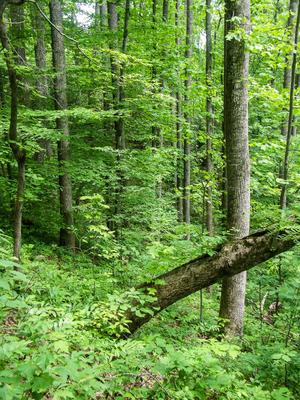
As Florence Preserve's longest trail, this one has a variety of character. From Kelly Mountain Road up to the Yellow trailhead connector, this is a narrow, slope-side trail with a couple of creek crossings on log bridges. Some neat trees grow here,...
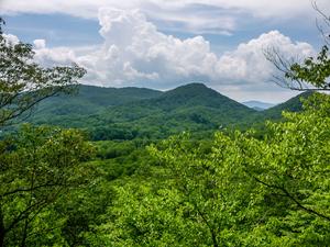
Not to be confused with the other orange trail in the preserve, this a short, narrow side path to an overlook called Rattlesnake Knob off the Red trail. This is the best overlook in the Preserve, in my opinion, with some good views to the west up the...
This is the orange trail (one of three) that leads from the Blue Trail out to "Tom and Glenna Rock" (formerly Little Pisgah Point). It's a gently-sloped old road bed, which passes near an opening in the forest that lets in a lot of light and lets...
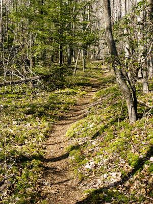
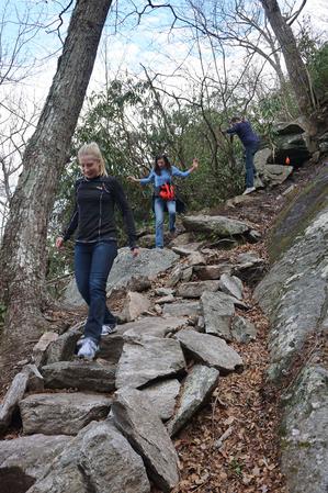
Climbs steeply from Kelly Hill Road, up to the top of the ridge. Parts of this segment are heavily eroded. Beyond the Orange overlook connector, this levels out - it's an old road bed - and there are some sections with lots of poison ivy to watch out...
This is one of two yellow trails in Florence Nature Preserve. The other is the main access trail from the Upper Hickory Nut Gorge parking area. This one is an old road bed which climbs from the blue trail up to the white trail. It is steep and narrow...
Climbs, steeply at first, from the new trailhead on US 74-A (the old chimney) to the Blue Trail near the main stream. Passes near some very steep areas near the beginning; use caution, especially if you have kids (the trail itself is quite safe)....
0.75mi, Climbs Steeply, Some Obstacles
Nearby Trails
The following trails cross into this trailhead area, but are primarily accessed from another trailhead:
**Note**: [The trail is now officially open](https://conservingcarolina.org/new-trail-connects-bearwallow-to-wildcat-rock/) all the way to [Bearwallow Mountain](/trailheads/bearwallow-mountain/)! GPS recordings and our GIS data show the hike to be...