Chinquapin Mountain Trail
At A Glance


3.5 mi one-way
Difficulty Rating: 5.41 ![]()
Steepness: Climbs Moderately ![]()
Tread Condition: Moderately Rough ![]()
Lowest Elevation: 3470 ft
Highest Elevation: 4200 ft
Climb Total: 750 ft
Blaze Color: Blue
Description
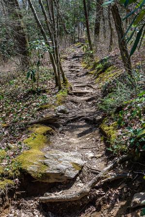
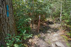
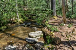
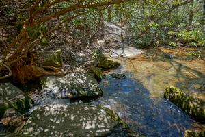
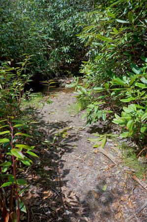
From the Glen Falls parking area, descends briefly to cross the East Fork Overflow Creek on a sturdy bridge, then begins ascending the valley of a lively tributary stream in a generally northwesterly direction through a thick rhododendron understory.
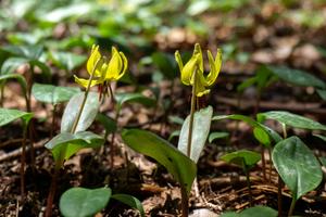
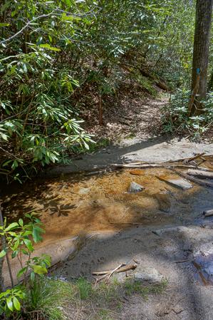
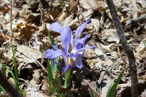
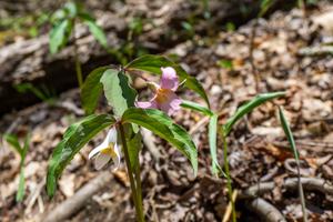
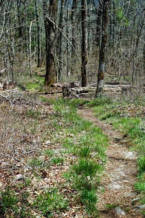
There are some small cascades on the stream but nothing worth exploring more closely. Spring wildflowers line the trail in places including Catesby's trillium, Trout Lily, and Bellwort. The trail enters a more-level area where the stream becomes more lazy, and then crosses the stream or its tributaries several times. This section is muddy with lots of rocks and roots, and passes through a former hemlock forest. It could use some serious maintenance or even a few re-routes in places.
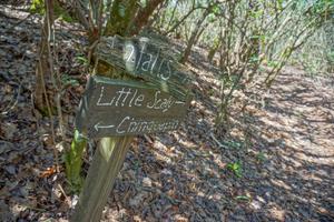
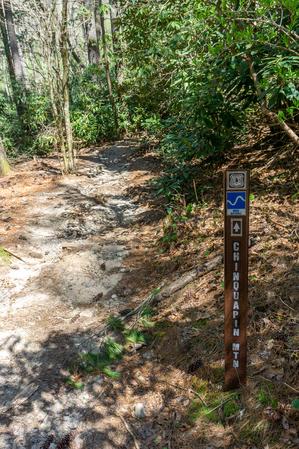
The trail has one signed junction at a place that touches the stream. A spur path leads across the stream back to NC Hwy. 106, where there is an alternate parking area. The stretch up to here from Glen Falls is nice though, so I recommend parking there unless you're short on time or the parking lot is full.
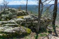
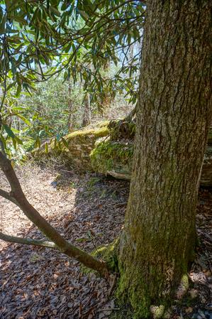
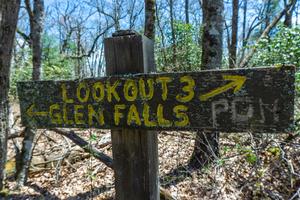
The trail makes a switchback to the southwest and then begins climbing Chinquapin Mountain through a series of switchbacks. The rhododendrons gradually give way to more open woods and some neat, mossy rock outcrops appear. As you approach the summit, spur trails for the various overlooks appear on the left - they start at 5 and count down to 1, because whoever named them apparently came up from private property at the north end of this trail.
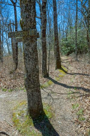
Lookout #5
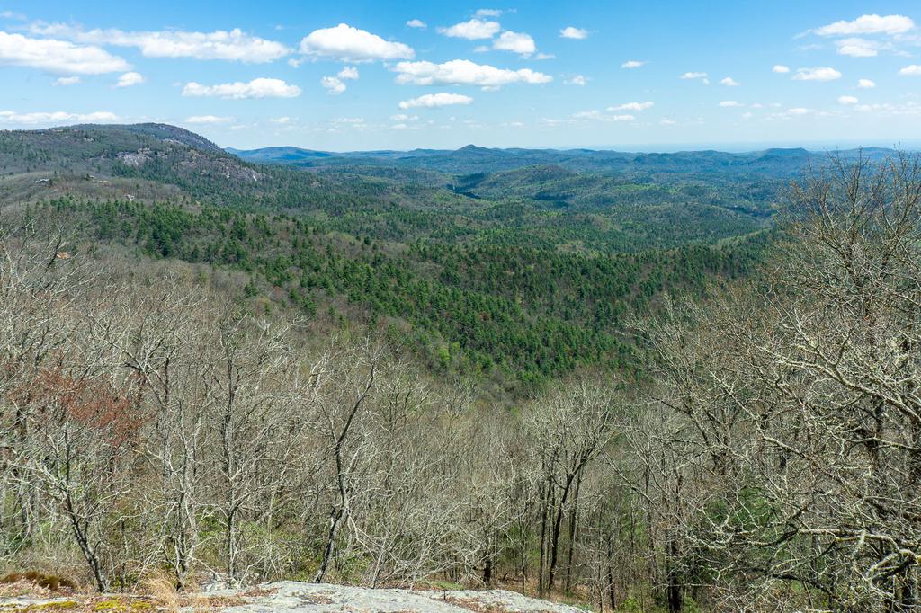
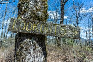
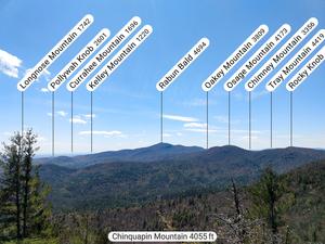
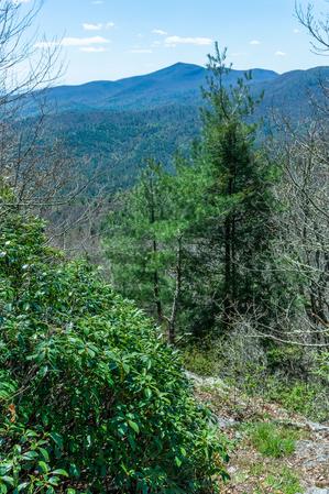
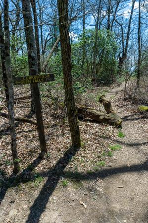
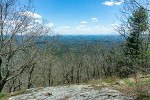
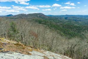
The sign for the first overlook is nailed to a tree at a junction; this one has a beautiful view of the Blue Valley and all the way over to Whiteside Mountain, and is right next to the trail. It is well worth it. Be careful; the sloping rock gets steeper farther down.
Lookout #4
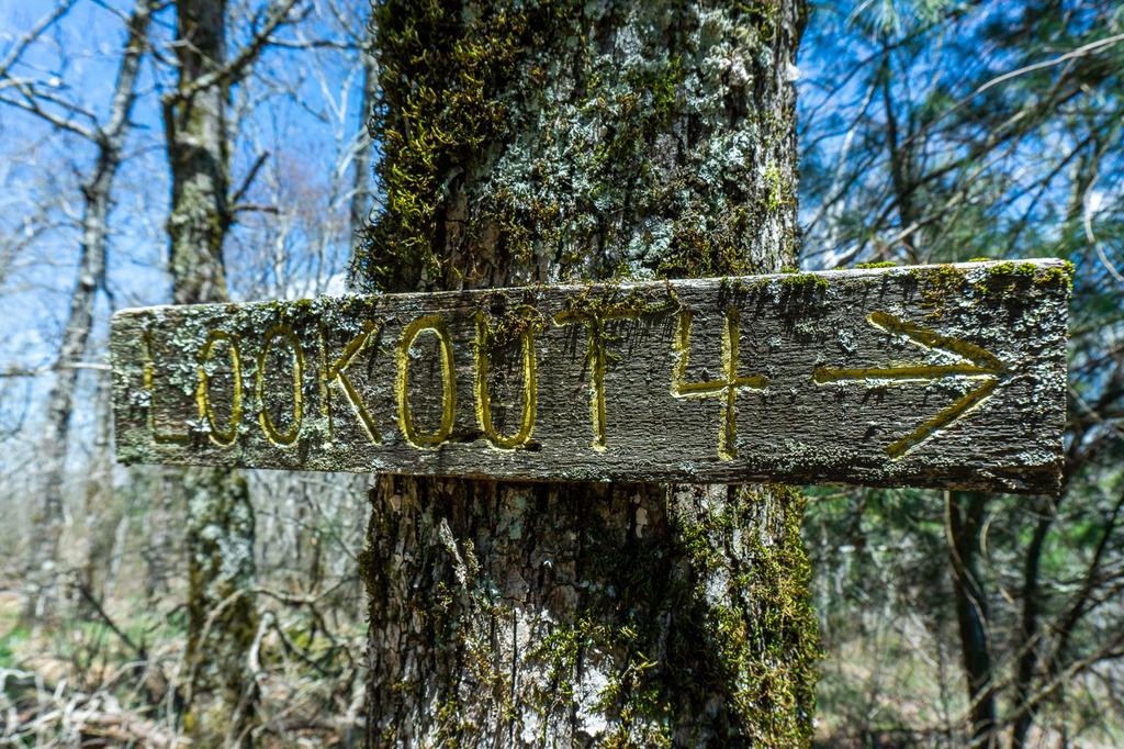
Overlook #4 is also right next to the trail but has a very limited view between the trees.
Lookout #3
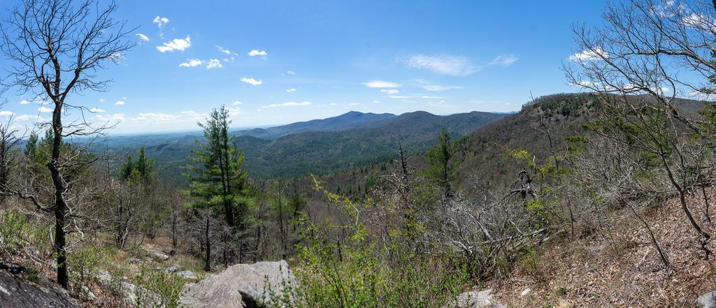
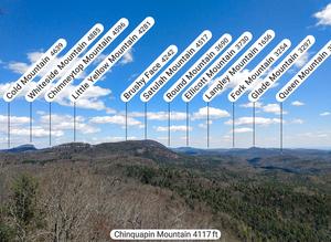
The spur to overlook #3 is a bit further along than 4 and 5, near the summit. The spur trail to it is also a bit longer (about 0.1 mi), and descends rather steeply, which means you have to come back up. But the view is spectacular! It pops out at a couple of rock outcroppings with sweeping views toward Rabun Bald in GA.
Lookout #2
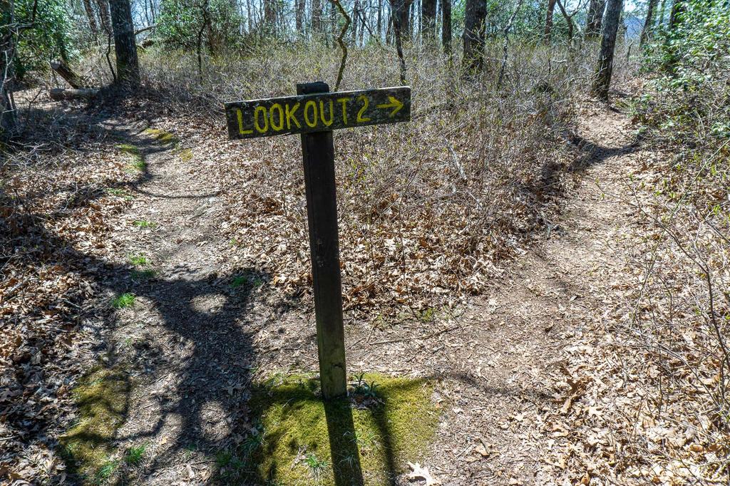
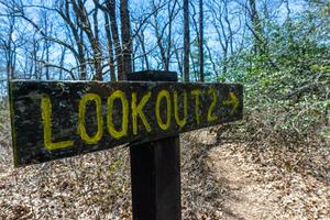
Overlook #2 is reached by a short, twisty side trail, not as long as the one to lookout 3, but still a bit off the main trail. It is worth the extra distance, and makes a good turn-around point for the hike.
Lookout #1
I haven't visited overlook #1 because the information and photos I had suggested that it wasn't worth it. I recommend turning around at #2 - beyond this point, the trail turns north, begins descending and crosses onto private property before supposedly ending back at NC Hwy. 106.
Can be combined with the Glen Falls trail for a longer hike starting at the same parking area, or from the Blue Valley experimental forest parking area for a true summit hike that includes Glen Falls at about the half-way point.
This trail is located in the Nantahala Ranger District area. For a list of all the trails in that area, see the Nantahala Ranger District trails list page.
All Photos from the Trail
GPS Map
Map Information
Download GPS Data
Click on a route, trail, or point on the map and select the GPS Data tab to download its data.
Data Formats
KML (Google Earth)
KML is the main file type used by Google Earth. If you have Google Earth installed, clicking the KML link should open the trail or point directly in Google Earth for viewing. This is the native file format used by Google Earth, but many other map applications can use and understand KML as well, so if you're not sure which one to download, KML is a good bet.
GPX
The GPX format stands for GPS Exchange - a free, open, XML format for exchanging GPS and map data. GPX is compatible with Google Earth, many other mapping programs, and most GPS devices (such as Garmin). Load the file directly into your GPS to help find your way on your next trip!
GeoJSON
GeoJSON is a newer, lightweight data exchange format which can be used to quickly share map data and may have a smaller size than KML or GPX. Many professional mapping and GIS applications support the GeoJSON format.
About the Map
Copyright
Base Layers
Base layers provided by OpenStreetMap, the US Geological Survey, the US Forest Service, and NC OneMap. Base layer images are subject to the respective copyright policies of their owners. Base layers may not be available at all times due to system maintenance or outages.
WNCOutdoors Base Layer
The WNCOutdoors Base layer is provided by WNCOutdoors.info. It is licensed by Creative Commons Attribution 3.0.
Trail and Marker Overlays
Trail layers and downloadable data are all original works created by WNCOutdoors with guidance from a variety of sources, including ensembles of our own GPS tracks, user contributed GPS tracks, official maps and GIS data from government agencies, and field observations. WNCOutdoors data is made freely available under the Open Database License - you are free to copy and use it for any purpose under the terms of that license (summary).
Tips
- Hover over a trail to see it highlighted. Helps to see start and end points for an individual trail.
- Scroll and zoom the map before printing, and that view will persist into the printed image.
- Click a trail for more details and to download it individually.
Feedback
Ratings
Average Rating: 5.0 (rated 1 times)
Rate It Now:








[Site Admin] Jordan Mitchell said: @Jim thanks - I was suspicious of that even though the official Forest Service data shows the trail continuing. We field checked up to the summit overlooks only. I've now updated the map!
Jim Chance said: Trail has been cleared and is now regularly maintained by volunteers. The map is in error. There is no upper trailhead on 106. What is shown as a trail is actually someone’s driveway. Please do not go through their gate and onto their driveway.
Clint said: Love this trail but currently it’s impassable in parts due to massive fallen trees.
Robert E. Marshall said: I hiked Glen Fall Trail 8# last year and there is a wonderful waterfall on the East Fork of Overflow Creek as you head up the trail towards the base of Glen Falls.