The Max Patch Mountain & Harmon Den Area
Overview
Note July 2021: New restrictions are in effect in the Max Patch area including camping closures. No more stargazing from Max Patch!
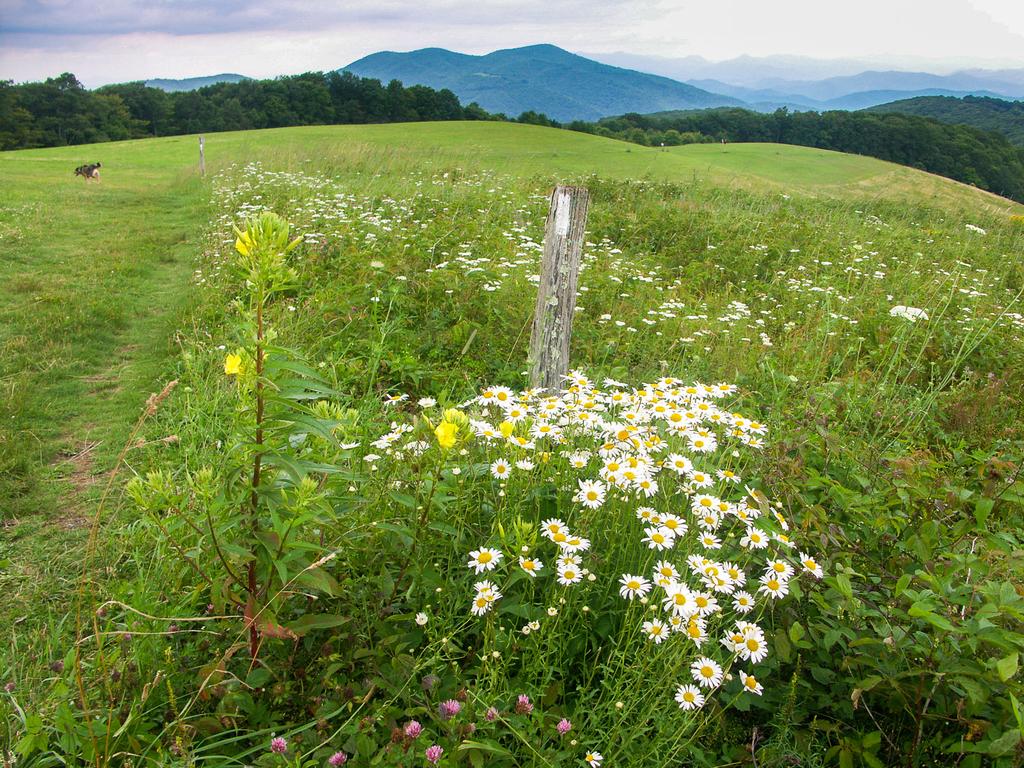
At 4629 feet elevation, Max Patch is not the highest summit in its immediate vicinity, but this grassy bald is certainly one of the prettiest. Sitting just inside North Carolina along the boundary with Tennessee, the mountain is considered by some to be the "crown jewel of the Appalachian Trail".


360-degree views and plenty of relaxation await the hiker at the top, with views into the Smokies, toward Mount Pisgah, and all the way to areas like Mount Mitchell to the east. But Max Patch, while easily the most well-known feature, is just the start of what's available for hikers in this area.
Drivers along Interstate 40 west of Asheville, just before the Tennessee state line, encounter what is known as "The Gorge" as the highway snakes its way along the Pigeon River, which has cut a deep chasm between the Great Smoky Mountains to the southwest and the Bald Mountains to the Northeast. Towering cliffs and mountains that soar more than 4000 ft above the road create an impressive backdrop for the winding highway.
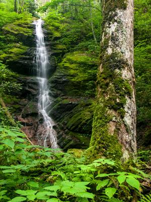
Between the Gorge and the well-known Max Patch is a lesser-used area (with perhaps an equally enigmatic name) known as Harmon Den, accessible off of exit 7 on I-40. It contains quite a few more hiking trails and attractions to explore. A couple of off-trail waterfalls top off the list of attractions in the area.
Aside from I-40, there are only a few winding country roads that connect you to this area, and there are no major towns in the immediate vicinity.
Hiking Trails
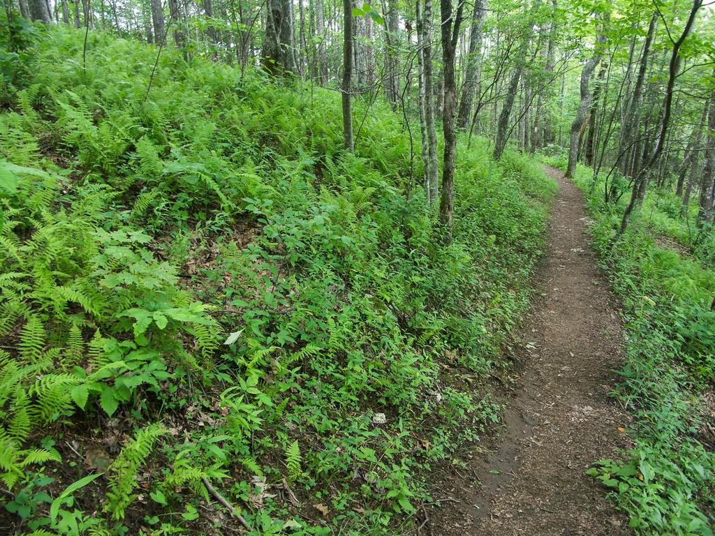
There are nearly 40 miles of trails available in the area, including the Appalachian Trail, which runs along the spine of the mountains along the state line from I-40 up to Max Patch Mountain. Max Patch is by far the most popular destination for hiking in the immediate area, and for good reason.
If you just want to hike to the summit of Max Patch (and you do!), take the moderate, 1.4 mile blue-blazed trail to the left of the signs to the summit and back. You can make it a short loop hike by descending a similar trail on the other side. Note that due to erosion and resource damage, the former routes leading directly up the mountain from the parking area have been closed, so please stick to one of the the well-signed side trails to reach the top.
For a more all-inclusive experience, continue another mile on the Max Patch Loop trail, which stitches together several old roads, new trails, and portions of other longer trails such as the Buckeye Ridge and the Appalachian Trail to form a longer sort of jagged loop. It passes through some forested areas as well as meadows lower down with awesome views back up to the top. The trails on Max Patch are fairly well-signed, although a few confusing spots do exist - so bring a map and pay attention.
The Harmon Den area is as well-known to equestrians as Max Patch is to hikers, and is a very popular place for horseback riding. There is a reservation-only horse group camping area along Cold Springs Creek. While several miles of hiking-only trails can be found in Harmon Den, all of the horse trails are also open to hikers. Hikes in the Harmon Den area are mostly of the backcountry variety.

For more pictures of the area, visit the Harmon Den & Max Patch Mountain Photo Gallery.
New Restrictions as of July 1, 2021
Mars Hill, NC, July 1, 2021 — The Pisgah National Forest is implementing new restrictions at Max Patch designed to reduce impacts to natural resources and protect public health and safety. Effective immediately in the area around Max Patch as delineated on the map below, the following rules apply:
- No camping.
- No fires.
- Area closes 1 hour after sundown. Reopens 1 hour before sunrise. Visitors prohibited during closed hours.
- Group size limited to 10.
- Dogs and other animals must be on a leash no longer than 6 feet, or in a crate or cage.
- Stay on designated trails.
- Aircraft may not land nor drop off or pick up anything in this area. Drones are prohibited on Appalachian Trail.
- No fireworks.
- Bikes must stay on roads only.
- Horses and other saddle and pack animals may not be ridden, hitched, tethered, or hobbled in this area.
We’ve been working with partners to achieve sustainable recreation at Max Patch because of the impacts due to a significant increase in visitors over the past decade,
said Appalachian District Ranger Jen Barnhart.
Unfortunately, the level of use is causing a public safety hazard as well as serious damage to wildlife habitat.
The restrictions will be in effect for two years, during which time visitor use and impacts will continue to be monitored and addressed. Past efforts of visitor education and engineering controls such as barriers and fencing have not been sufficient to address the challenges. A visitor use monitoring group consisting of local partners, the USFS, and local community members has helped to develop solutions and will also help to educate visitors on the new restrictions.
For more information, see the full text of the closure order and a PDF of map showing area in which restrictions apply.
Directions
Via I-40
The easiest directions to the area involve coming in via I-40. From Asheville, drive about 39 miles west of the I-40/I-26 interchange to Exit 7 for Harmon Den and turn right on Cold Springs Road. From the west, it's about 37 miles east of the I-40/I-81 interchange on I-40 in Tennessee (just under 7 miles from the NC state line) to Exit 7 with a left turn onto Cold Springs Road. Cold Springs Creek Road then goes 6 miles up the mountain and ends at Max Patch Road, passing thru the Harmon Den area along the way. Turn left and go another 1.5 miles to the Max Patch Mountain parking area.
Via Hot Springs
If you're coming in from the north, it makes more sense to come via the town of Hot Springs than I-40. From Hot Springs, take NC Hwy. 209 south for 7.2 miles and turn right on Meadow Fork Road. Go 5.3 miles and turn right on Little Creek Road. Go 3.5 miles - up the mountain - to Max Patch Road.
From here, turn right and go 1.4 miles to the parking area for Max Patch Mountain. Or, turn left and go 0.2 miles, and turn right on Cold Springs Creek Road to descend into the Harmon Den area. It's 6 miles to I-40 on Cold Springs Creek Road.


