The Black Mountains and Toe River Area
Overview
North Carolina's highest mountain range, and indeed the highest east of the Mississippi, is a J-Shaped ridge northwest of the Asheville area known as the Black Mountains. Topping out at an elevation of 6,684 ft on Mt. Mitchell - the highest point east of the Mississippi River in the United States - the range has 18 peaks climbing to over 6300 ft elevation.
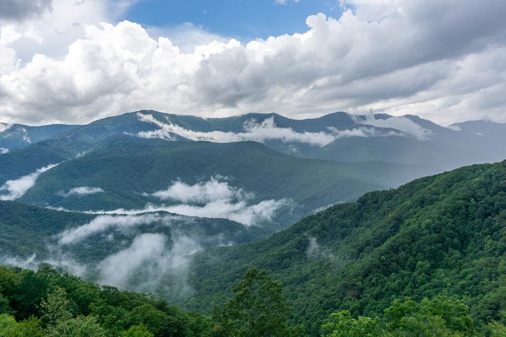
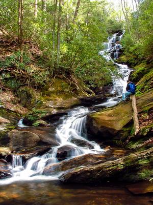
The range is named for the dark green appearance - almost black, from afar (especially during winter) - of the spruce and fir trees which grow along its summit ridge. This look is still evident today despite the massive amount of logging which took out much of the confers in the early 20th century. Logging did have a profound effect on the area, like much of WNC, which will be evident when hiking there.
The Highest Mountain Range East of the Mississippi
The Black Mountains start as a low ridge in the north near Burnsville, NC, rising to Bowlens Pyramid (4908 ft) and Celo Knob (6,327 ft), the first peak to exceed 6000 ft. in the range when heading south. Gibbs Mountain (6,224 ft), Winter Star Mountain (6,212 ft), and Deer Mountain make up the main peaks north of Deep gap, a prominent notch dropping the ridgeline to 5700 ft before rising again to the south.
South of Deep Gap, Potato Hill (6,475 ft), Cattail Peak (6,583 ft), and Balsam Cone (6,611 ft) line the ridge before the twin peaks of Big Tom (6,581 ft) and Mount Craig (6,647 ft, which is the second highest peak east of the Mississippi). Mount Mitchell, at 6684 ft, is next. South of Mount Mitchell are some unnamed smaller summits followed by Stepps Gap, just proud of 6000 ft. And south of Stepps Gap are Mount Gibbes (6,560 ft), Clingman's Peak (6,540 ft), and Potato Knob (6,420 ft) - the bottom of the "J".

At Potato Knob, the main ridge line turns west and north, dropping below 6000 ft. again at Rainbow Gap. Blackstock Knob rises to 6,320 ft and then the main ridge drops to Balsam Gap at 5320 ft before turning almost due north along Brush Fence Ridge.
Now on the west side of the "J", the peaks are described going north. Point Misery (5715 ft) provides a colorful name to a beautiful mountaintop, and then the ridge rises to the even more colorfully named Little Butt and Big Butt (5960 ft), which marks the end of the range. The ridgeline drops to 4400 ft. at Cane River Gap north of that.
Extending south from the main ridge of the Blacks are the Great Craggy Mountains with may peaks above 5000 ft. and one above 6000 ft. (Craggy Dome). These are, spiritually at least, just an extension of the Blacks. The ridge is connected to the Blue Ridge and Eastern Continental Divide to the east at Black Mountain Gap. Several 5000+ ft. peaks along the Blue Ridge (such as Green Knob, Pinnacle, and Graybeard Mountain) round out the conglomerate of high-country in and around the core ridge of the Black Mountains.
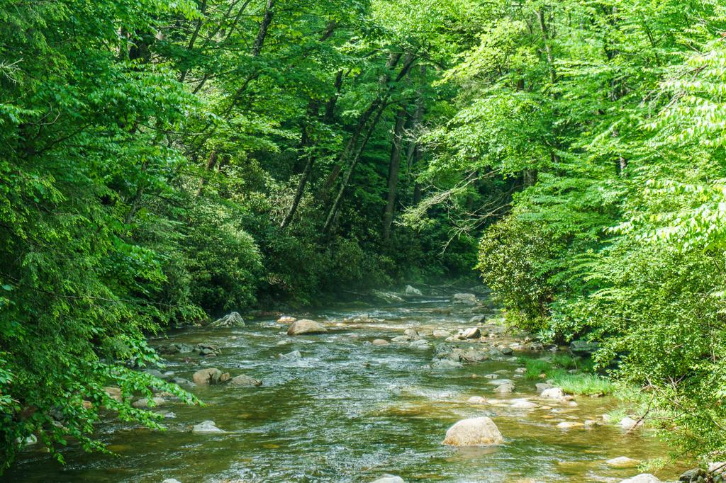
The Cane River drains the interior of the "J", while the Toe River drains its east slopes (and the west slopes of the adjacent Blue Ridge). This Trailhead area includes all trails on the Black Mountains range and the Toe River valley to its east. (The Cane River valley is private property and its trails are off-limits to the general public).
Hiking Trails
The somewhat disjointed land ownership pattern in the area means there's not the dense trail network found in many other parts of the Pisgah National Forest and other state parks. However, that's not to say there aren't any hiking trails in the Black Mountains. Indeed, some of the state's finest - and most challenging - hikes in the region are to be found here, and you can hike nearly the entire ridgeline of the main Black Mountains range.
The Mountains to Sea and Black Mountains Crest trails are the main long-distance routes that traverses the area, linking many of the other shorter trails together. Both traverse long stretches of ridgeline but then descend into the Cane and Toe River valleys, respectively.
The Mount Mitchell trail climbs from the Black Mountain Campground in the Toe River Valley up to the summit of Mount Mitchell. It is one of the [best hikes](/besthikes/black-mountains in the region. It ends inside Mount Mitchell State Park, which is its own separate Trailhead area on this site.
Featured Trails
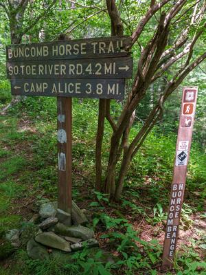
The Buncombe Horse Range Trail makes a long arc on the east slopes of the Black Mountains, and a good portion of its path is shared by the Mountains to Sea trail.
Bald Knob Ridge is an isolated trail which climbs the southern end of the Blacks for its own unique character.
Easy trails encircle the Black Mountains Campground area as well. The Briar Bottom trail is a short, easy loop trail which utilizes a stretch of graveled path along the Toe River and a gravel road. The Devil's Den is an easy loop through a cove hardwood forest, while the River Loop is a relatively easy (by Black Mountain standards!) loop farther around a portion of the Toe River.
By combining trails in the Blacks with trails in the nearby Big Ivy, Curtis Creek, and Mill Creek/Montreat/Ridgecrest areas, very long, multi-day outings are also possible.
This is just an overview of what trails are available in the Black Mountains range. For the full list including full details about each trail, visit the Trails page.
Map
Here's a map of the Black Mountains & Toe River. For more maps, including printed publications, see our Black Mountains & Toe River maps page.
Map Information
Download GPS Data
Click on a route, trail, or point on the map and select the GPS Data tab to download its data.
Data Formats
KML (Google Earth)
KML is the main file type used by Google Earth. If you have Google Earth installed, clicking the KML link should open the trail or point directly in Google Earth for viewing. This is the native file format used by Google Earth, but many other map applications can use and understand KML as well, so if you're not sure which one to download, KML is a good bet.
GPX
The GPX format stands for GPS Exchange - a free, open, XML format for exchanging GPS and map data. GPX is compatible with Google Earth, many other mapping programs, and most GPS devices (such as Garmin). Load the file directly into your GPS to help find your way on your next trip!
GeoJSON
GeoJSON is a newer, lightweight data exchange format which can be used to quickly share map data and may have a smaller size than KML or GPX. Many professional mapping and GIS applications support the GeoJSON format.
About the Map
Copyright
Base Layers
Base layers provided by OpenStreetMap, the US Geological Survey, the US Forest Service, and NC OneMap. Base layer images are subject to the respective copyright policies of their owners. Base layers may not be available at all times due to system maintenance or outages.
WNCOutdoors Base Layer
The WNCOutdoors Base layer is provided by WNCOutdoors.info. It is licensed by Creative Commons Attribution 3.0.
Trail and Marker Overlays
Trail layers and downloadable data are all original works created by WNCOutdoors with guidance from a variety of sources, including ensembles of our own GPS tracks, user contributed GPS tracks, official maps and GIS data from government agencies, and field observations. WNCOutdoors data is made freely available under the Open Database License - you are free to copy and use it for any purpose under the terms of that license (summary).
Tips
- Hover over a trail to see it highlighted. Helps to see start and end points for an individual trail.
- Scroll and zoom the map before printing, and that view will persist into the printed image.
- Click a trail for more details and to download it individually.
Places to Stay
Camping
Black Mountain Campground
The Black Mountain Campground is the centerpiece for those looking to stay in the area. As a beautiful National Forest campground, it's 46 sites are located on the South Toe River right at the base of the Black Mountains. There are also 6 group campsites for 50 people each at the adjacent Briar Bottom Group Camp. Campers have a perfect place for swimming, tubing and fly fishing. Hiking trails start from and encircle the campground - everything from the easy walk to Setrock Creek Falls, to the challenging climbs up Green Knob and Mount Mitchell!
Carolina Hemlocks Campground
The Carolina Hemlocks Campground is a bit smaller than Black Mountain Campground but offers 31 sites next to the South Toe River, where a great swimming hole that attracts plenty of folks looking to cool off in warmer weather.
Nearby Campgrounds
Trails in the Black Mountains area are also within a short drive of other nearby area campgrounds, such as Linville Falls, Crabtree Falls, Bear Den, and the campground at Mount Mitchell State Park. These offer good overflow options if Black Mountain and Carolina Hemlocks are full.
Lodging
Lodging is also available in the nearby towns of Burnsville, Spruce Pine, and Little Switzerland. Vacation rentals are available closer to the trailheads in the South Toe River valley as well.
Directions
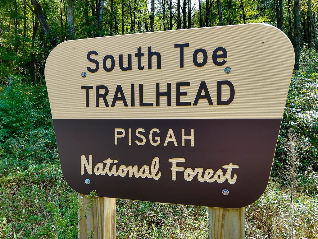
The main jumping-off point for trails in this Trailhead area are:
- The Carolina Hemlocks recreation area (and some parking areas on Forest Service roads nearby), and
- The hiker parking at the South Toe Trailhead across from the Black Mountain Campground. The address is 50 Black Mountain Campground Road, Burnsville, NC, 28714.
From Burnsville, NC
From the intersection of HS Hwy. 19 E. and S. Main St. at the top of the hill in Burnsville, go east on US 19E for 4.3 miles. Turn right onto NC 80 and go 0.6 mile. Turn right again to stay on NC 80, and go 8.5 miles to the Carolina Hemlocks recreation area, which offers camping, picnicking, a great river swimming hole, and access to several trails in the area.
Continue past Carolina Hemlocks for 3.1 miles, passing Mt. Mitchell Golf Course, and turn right onto South Toe River Road (FS 472). There are signs for the campground at the junction; it is 2.9 miles from there NC 80 to the campground. Along the way, the road changes to gravel, and you will need to keep right at the intersection with another gravel FS road on the left. (There are signs directing you to the campground).


