Shining Rock Wilderness Area - Pisgah National Forest
Overview
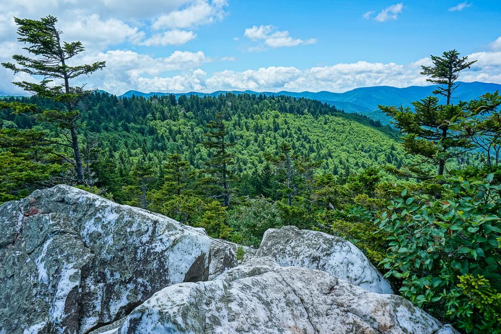
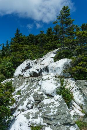
Shining Rock became one of the original components of the Wilderness System in September 1964. It is the largest Wilderness area in North Carolina. Many mountains in the Wilderness exceed 5,000 feet and three peaks exceed 6,000 feet.


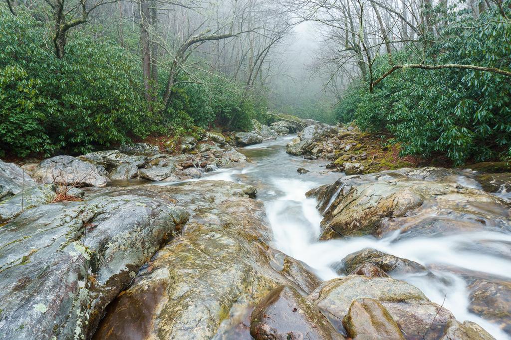
The Shining Rock Ledge (or ridge) forms the backbone of this area. A series of high ridges extends east and west from the north-south oriented Shining Rock Ledge. The Pigeon River drains this area with many tributaries starting on the high mountains, and it splits around this area into the East and West Forks.
In this area, the mountains and the Blue Ridge Parkway forms a big "U" and the Shining Rock wilderness occupies the eastern half of the U. The Middle Prong wilderness occupies the western half, and right down the middle runs NC route 215, which is the only thing that separates the two wilderness areas. Most of the mountains are steep and rugged. But where the Shining Rock Ledge meets the Pisgah Ledge at Black Balsam Mountain to the south (the bottom of the U), there are relatively level areas and high valleys such as Graveyard Fields and Flat Laurel Creek on either side.
Hiking Trails

There are three main access points for trails within this Wilderness. First and foremost is the Black Balsam area near the Blue Ridge Parkway. Although Black Balsam is not part of the Wilderness itself, the Art Loeb (moderate) and Ivestor Gap (easy) trails lead into the wilderness area from there. (Everything beyond Ivestor Gap itself is inside the wilderness). This trailhead receives a tremendous amount of use, but for good reason, since easy hikes in the beautiful high elevation areas start there.
Another popular trailhead is located at the crossing of the Big East Fork Pigeon River by US Hwy. 276. Several longer trails head up the into the heart of the wilderness from there, characterized by beginnings that are relatively easy, becoming more and more difficult the further you travel.
On the west side of the river, the Shining Creek trail connects to the Art Loeb trail near Shining Rock itself, making for a strenuous summit hike from the Big East Fork trailhead. The Old Butt Knob trail forms a loop with Shining Creek trail on the ridge to its north, providing a ridge-top route.
You can hike to Shining Rock itself via the Old Butt Knob trail out of Shining Rock Gap. You can make a strenuous 8.4 mile loop in the heart of the wilderness by combining Shining Creek and Old Butt Knob trails with a short section of the Art Loeb through Shining Rock Gap.
Speaking of Shining Rock Gap, that area just south of Shining Rock is often considered a rather confusing junction of trails. Although I've never had a problem with it myself, for a long time I planned on doing a video walk-through of the area to help orient people to the gap before they arrive, but The Foothills Backpacker beat me to it! This excellent, short video lays out which trails go where and is well worth reviewing before heading out:
On the east side of the river, the Big East Fork trail follows the river of the same name, a beautiful segment of trail and waterway that is well worth a hike. This trail connects up to the Mountains to Sea Trail after exiting the wilderness to the south near the Blue Ridge Parkway. However, leading west (and back into the heart of the wilderness) about 3/4 of the way to its end is the Greasy Cove trail, a strenuous climb that winds up on the Art Loeb near Ivestor Gap. It can be combined with Shining Creek farther north via the Art Loeb for a long loop hike.
Finally, for those wishing to summit a 6000 ft peak by starting at its base, try the trailhead at the base of Cold Mountain at Camp Daniel Boone. The Art Loeb trail makes its final (or initial) pitch up the side of Cold Mountain, and the Cold Mountain trail takes you the final distance to the peak. Trails starting at this trailhead are all strenuous - it's almost 11 miles round-trip to the summit.
Finally, the Little East Fork trail takes the low route south along the waterway of the same name until it veers east and uphill to join with the Ivestor Gap not far from Shining Rock, an alternate route to that summit. This trail is open to horses as well as hiking.

This is just an overview of the trails in the Shining Rock Wilderness. For the full list, see the Shining Rock Wilderness trail list page.
Map
Here's a map of the Shining Rock and Middle Prong Wilderness areas. For more maps, including printed publications, see our Shining Rock and Middle Prong Wilderness maps page.
Map Information
Download GPS Data
Click on a route, trail, or point on the map and select the GPS Data tab to download its data.
Data Formats
KML (Google Earth)
KML is the main file type used by Google Earth. If you have Google Earth installed, clicking the KML link should open the trail or point directly in Google Earth for viewing. This is the native file format used by Google Earth, but many other map applications can use and understand KML as well, so if you're not sure which one to download, KML is a good bet.
GPX
The GPX format stands for GPS Exchange - a free, open, XML format for exchanging GPS and map data. GPX is compatible with Google Earth, many other mapping programs, and most GPS devices (such as Garmin). Load the file directly into your GPS to help find your way on your next trip!
GeoJSON
GeoJSON is a newer, lightweight data exchange format which can be used to quickly share map data and may have a smaller size than KML or GPX. Many professional mapping and GIS applications support the GeoJSON format.
About the Map
Copyright
Base Layers
Base layers provided by OpenStreetMap, the US Geological Survey, the US Forest Service, and NC OneMap. Base layer images are subject to the respective copyright policies of their owners. Base layers may not be available at all times due to system maintenance or outages.
WNCOutdoors Base Layer
The WNCOutdoors Base layer is provided by WNCOutdoors.info. It is licensed by Creative Commons Attribution 3.0.
Trail and Marker Overlays
Trail layers and downloadable data are all original works created by WNCOutdoors with guidance from a variety of sources, including ensembles of our own GPS tracks, user contributed GPS tracks, official maps and GIS data from government agencies, and field observations. WNCOutdoors data is made freely available under the Open Database License - you are free to copy and use it for any purpose under the terms of that license (summary).
Tips
- Hover over a trail to see it highlighted. Helps to see start and end points for an individual trail.
- Scroll and zoom the map before printing, and that view will persist into the printed image.
- Click a trail for more details and to download it individually.
Places to Stay
Developed Camping
There are no developed campgrounds inside the wilderness itself; however, there are several within a short drive, and one, Sunburst Campground, borders the Wilderness area.
Sunburst, which is open from April - October, has 9 level campsites with drinking water and flush toilets. Located beside NC 215 North of the Blue Ridge Parkway, it's near the West Fork Pigeon River and a large open field at the site of a former logging camp. Campers can walk from the campground to trails in both the Shining Rock (Fork Mountain) and Middle Prong (Green Mountain, Haywood Gap) wilderness areas. A day-use picnic area is also on the site.
The Mount Pisgah, Davidson River, and North Mills River campgrounds (to name a few) are also within a short drive close enough to make day hikes into Shining Rock.
Dispersed Camping
Dispersed camping is allowed anywhere in the Shining Rock Wilderness, but there are some things you should keep in mind.
As of March 2015, bear canisters are required for dispersed camping in Shining Rock Wilderness. All bear canisters must be commercially made; constructed of solid, non-pliable material manufactured for the specific purpose of resisting entry by bears.
The high ridges between Black Balsam Mountain and Shining Rock have some great campsites, but they're open and very exposed. Temperature will be much colder up there than at lower elevations. Water can be non-existent during dry periods on these high areas, and they are extremely crowded, so finding a spot to plop your tent can become a challenge!
Creekside sites can be nicely situated, but be careful of the potential for flash flooding. Keep food and human waste far from streams to prevent contamination and treat all water before drinking.
Because of the catastrophic fires of the previous century (which created the mountain balds), campfires are prohibited within the Shining Rock Wilderness Area. Use a camp stove for cooking instead.
If you're traveling with a group, the maximum group size is limited to 10 people.
Looking to do a day hike in Shining Rock instead? The closest developed campgrounds are at Davidson River, Mount Pisgah and Sunburst, all within about 20 minutes' drive of the trailheads.
Lodging
There are many lodging options in the surrounding towns of Canton, Waynesville, Brevard, and Asheville.


