Trails in the Blue Ridge Parkway Section 6 Trailhead Area

This is your guide to individual trails along this section of the Parkway.

Here is a list of all trails in the Blue Ridge Parkway Section 6 Trailhead area.

Each trail has its own printable page with all the information and links, including (where available):

  • directions to the starting point
  • difficulty
  • length
  • elevation change
  • a map
  • photos from along the way, and
  • a detailed description and trail directions.

For general information about the Blue Ridge Parkway Section 6 trailhead, see the Blue Ridge Parkway Section 6 Trailhead page.

Need to find trails by another method? Go back to Trails.

Mountains to Sea Section 2 Trail

Most Difficult
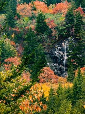
  • **Waterrock Knob to Pisgah Inn** 
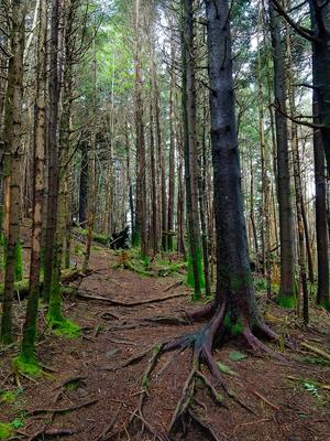
From Waterrock Knob to Flat Gap, the trail follows the Blue Ridge Parkway closely at most times. It gains some distance from the motor road on the southwest slope of the ridge line from there to Haywood Gap. From...
  • 61.0mi, Hilly, Moderately Rough

Richland Balsam Trail

Moderate
  • This self-guiding nature trail loop (with a short out-and-back section at the beginning) travels through a high elevation, spruce-fir forest that was devastated by a polluted environment and an introduced pest in the late 1980's. See how well the...
  • 1.47mi, Some Hills, Some Obstacles

Nearby Trails

The following trails cross into this trailhead area, but are primarily accessed from another trailhead:

Haywood Gap Trail

Most Difficult
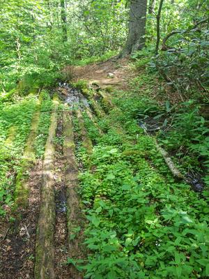
  • Starting at FR 97, Haywood Gap Trail climbs alongside the Middle Prong of the West Fork of the Pigeon River all the way up to the Mountains to Sea Trail about 75 yards from where it crosses the Blue Ridge Parkway at Haywood Gap. Parts of the trail...
  • 5.8mi, Climbs Steeply, Very Rough
  • Middle Prong Wilderness Trailhead

Related Pages