This is a short loop through a dense fir forest at summit. Start from the parking area; proceed up the Summit trail and bear left at the sign onto the Mountains to Sea trail. Bear left again at the next intersection to head back to the parking...
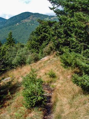
This narrow trail is extremely steep and follows the slope more or less directly uphill. However, it is short. The bottom portion climbs over a rock jumble and the middle section has more of a dirt tread. The trail passes through several openings,...
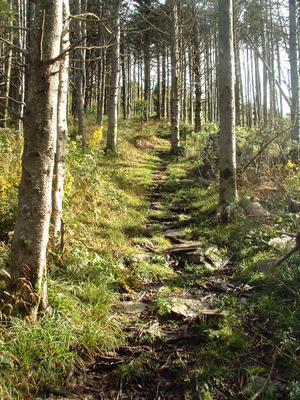
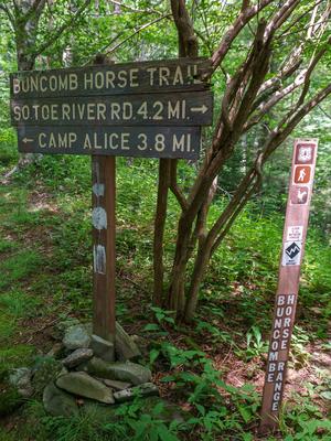
Leads from Camp Alice to the Old Mitchell Trail just above the campground. The Mountains to Sea trail follows this route. Steep and rough, but short and well-built trail that travels through beautiful sections of fraser fir forests.
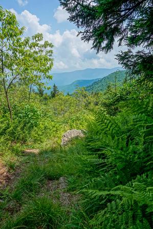
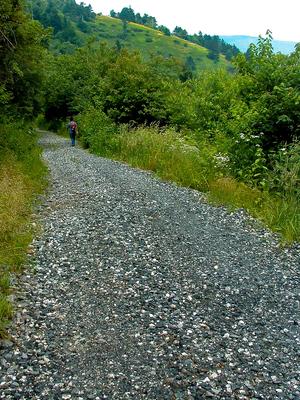
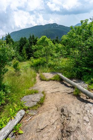
This is an easy walk on a gently sloping gravel road to a historic logging, and later, tourist camp site below the summit. Starts at Stepps Gap at the Park Office. Provides spectacular views of Mount Mitchell and the mountains below. Passes through...
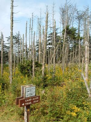
Starting from the picnic area, Deep Gap trail descends to a gap through a dense forest of Fraser fir that have regenerated since the die-off in the 1980's due to Balsam Woolly Adelgid. This is a great place to explore what the native fir forests once...
This long, strenuous trail leads from the USFS Black Mountain Campground to the summit of its namesake mountain. Most of the trail is on USFS property. Climbs 3600 ft in 5.5 mi, making it one of the highest single-trail climbs in the region. It's...
Leads from the park office to the Summit trail. Travels through a dense spruce-fir forest; though the trees are mostly firs along the ridges. There are some wet, rocky, steep and/or exposed cliff sections. Provides spectacular views of the summit...
Short spur leading from the park campground up to the the Old Mitchell trail below the summit. Go straight to reach the summit; right to get to the Camp Alice trail and the rest of the Old Mitchell trail.
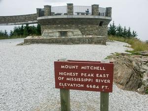
This easy leg stretcher leads from the summit parking area to the circular observation platform at the summit itself.
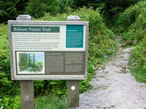
This is a paved path through a Fraser fir forest that was wiped out in the 1980's. All the mature firs died, but new ones sprouted...
0.1mi, Climbs Moderately, Paved
Nearby Trails
The following trails cross into this trailhead area, but are primarily accessed from another trailhead:
This is the third-longest trail in the Appalachian District, after the Appalachian Trail and Mountains to Sea Trail. It also has one of the highest average elevations of any trail in the region, with a long stretch above 5000 ft topping out at about...
**📝 Note**: The length of this trail is up for debate; see below.
From Bolens Creek's north end at about 3050 ft elevation, this trail follows a recognizable old Forest Service road before becoming more of a foot trail following a more ancient...
**Pisgah Inn to Black Mountain Campground**
Pisgah Inn, BRP mp 408.6 to Folk Art Center, BRP mp 382: from the Pisgah Inn to the Mount Pisgah Parking Area, the trail is co-signed as the Buck Spring trail. This leads past the old Buck Spring Lodge...