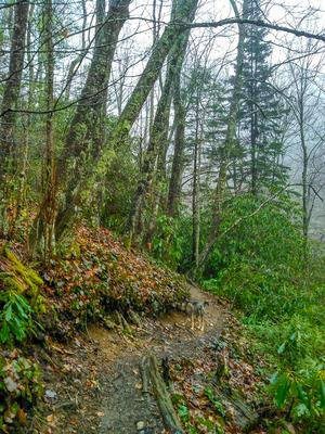
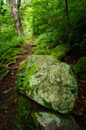
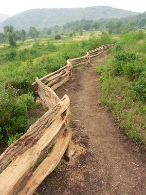
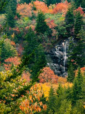
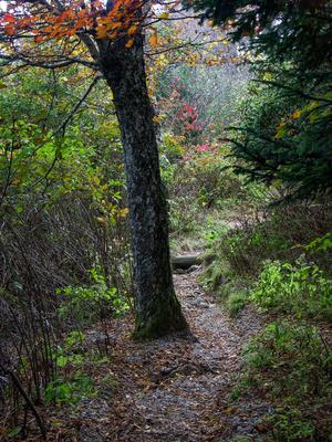
Starting on the Parkway in a mixed hardwood/spruce forest, the trail descends over a somewhat rocky path on an easy grade. You'll hear the river in the valley below. The trail passes through one switchback to the left and then into a wetter forest...
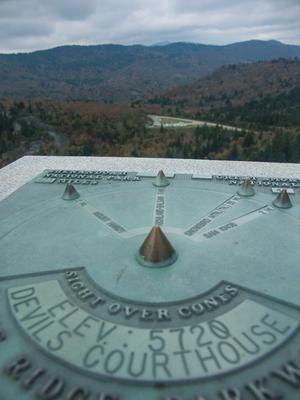
This steep but half-paved path leads to the top of the spectacular Devil's Courthouse. It travels through a high-elevation, spruce-fir forest to an enclosed overlook area at the summit. Identifier plaques on the overlook walls allow you to align your...
Besides having one of the most interesting names on the Parkway, Frying Pan Mountain has a fire tower on top which hikers can climb for excellent views in all directions. It's a great place to see Mount Pisgah's profile as well as Cold Mountain and...
**Pisgah Inn to Black Mountain Campground**
Pisgah Inn, BRP mp 408.6 to Folk Art Center, BRP mp 382: from the Pisgah Inn to the Mount Pisgah Parking Area, the trail is co-signed as the Buck Spring trail. This leads past the old Buck Spring Lodge...
A classic Blue Ridge Parkway hike. Travels from the Mount Pisgah parking area along a gently climbing, moderately rocky trail until it gains the ridgeline; then gets steeper with rougher tread condtions. Hardwood forest of mostly oaks with a few...
1.3mi, Climbs Steeply, Moderately Rough
Nearby Trails
The following trails cross into this trailhead area, but are primarily accessed from another trailhead:
Starting in Gloucester Gap, this section of the Art Loeb trail winds its way up the ridge extending east from Pilot Mountain before crossing over the summit. It dips down into Deep Gap and Farlow Gap before resuming its climb, up Shuck Ridge, where...
Climbing from Wash Creek Road uphill, the trail follows the ever-diminishing namesake stream along an old road bed, crossing it after a short distance. The forest is a typical cove hardwood variety with plenty of rhododendron and both healthy and...
Follows one of the larger tributaries of the North Mills River. Many creek crossings on the lower half. Steep climb up the Pisgah Ridge on the upper half. High elevation change.
Long, narrow, backcountry singletrack trail which reaches high elevations. Climbs gradually from Yellow Gap Road (FR 1206) to the Buck Spring Trail; however, there are a few steep sections. Several unmarked trails join from either side, so keep an...
Climbs somewhat steeply from Yellow Gap Road (FR 1206) up to the Buck Spring/Mountains to Sea trail near Mount Pisgah on the Parkway. Initially crosses a creek, then climbs through a cove forest gradually getting farther from it. Passes through many...
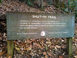
The Shut-In Trail is a long, historic route which shares the path with the Mountains to Sea Trail. It travels from NC 191 near Bent Creek and Asheville to the Mount Pisgah parking area. George W. Vanderbilt, builder of the famous Biltmore Estate near...
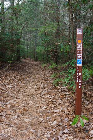
The upper portion above the Trace Ridge trailhead follows an old roadbed up the ridge all the way to the Blue Ridge Parkway. Rocky; steep. Very eroded in places. Dry pine-oak forests can be found along the nondescript ridge.
Downhill from the...
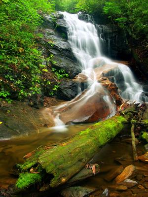
This loop travels through a unique, high-elevation, flat valley to a spectacular cascading waterfall. Braided streams, open valleys, short high-elevation forests, rhododendron & galax groves, clear pools. See Also the Graveryard Fields Best Hike.
**Waterrock Knob to Pisgah Inn**
From Waterrock Knob to Flat Gap, the trail follows the Blue Ridge Parkway closely at most times. It gains some distance from the motor road on the southwest slope of the ridge line from there to Haywood Gap.
From...
Connnects the Mountains to Sea Trail, between the Little Sam trail and NC Hwy. 215, with the Devil's Courthouse trail. Short and mostly level. Passes over the top of the Devil's Courthouse tunnel on the Parkway.