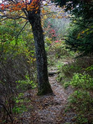
Climbs from the parking area at the end of Black Balsam Road to the top of Black Balsam Knob. Passes through a few switchbacks on its way up. Starts in an open shrubby area, then enters a more forested setting. Touches the spruce plantation on the...
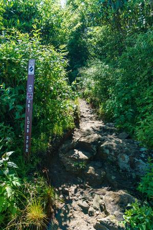
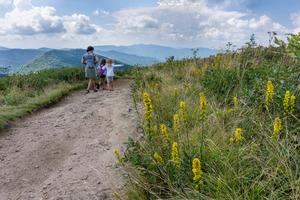
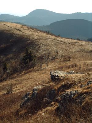
A series of unofficial, but well-defined, paths which run around the open summit of Black Balsam Knob. The official trail, Art Loeb, passes to the true summit's northwest, but almost nobody uses it compared to these more scenic unofficial paths.
Connnects the Mountains to Sea Trail, between the Little Sam trail and NC Hwy. 215, with the Devil's Courthouse trail. Short and mostly level. Passes over the top of the Devil's Courthouse tunnel on the Parkway.
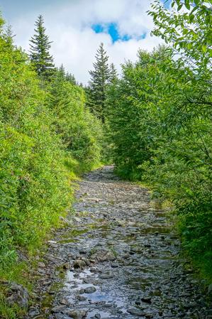
Follows an old railroad grade up from NC 215 to the end of FS 816, the Black Balsam parking area. It's a gentle climb on a wide trail; it's very rocky all the way. It's also a unique trail since it's entire length is above 5000 ft. elevation.
Starts...
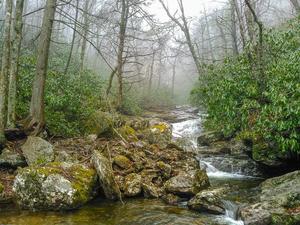
Similar to the Flat Laurel Creek trail, this trail follows an old railroad grade. It travels around Black Balsam and Tennent Mountains. It is level or climbs gently in places. It is very rocky and very wet, although there are no sizeable stream...
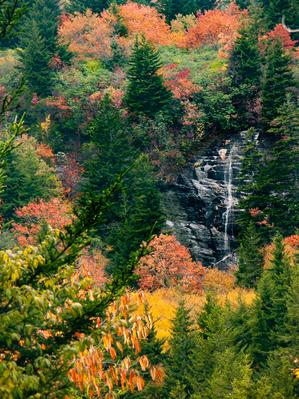
Connects the Flat Laurel Creek to the Mountains to Sea trail, providing several loop options. High elevation trail. Follows old road/railroad grades with one larger stream crossing. Very muddy and wet, and somewhat overgrown. Passes above a very...
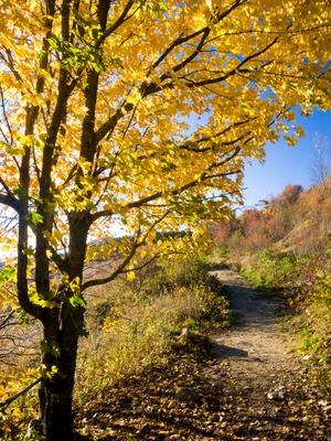
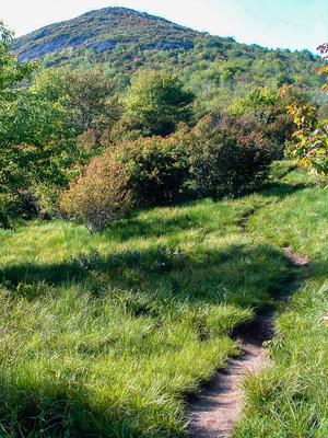
Fantastic, high elevation trail. Starts at the Flat Laurel Creek trail and travels to the summit of Sam Knob. Blueberries abound in season. Short, high-elevation hardwood forest near the bottom, then heath balds and grassy areas near the top. At the...
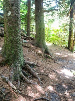
This short trail starts at the Black Balsam parking area at the end of Black Balsam Road. It follows an old road bed through a mixed, high elevation forest on a level path to a big staircase that makes easy work out of the descent over a once highly...
0.7mi, Climbs Gently, Some Obstacles
Nearby Trails
The following trails cross into this trailhead area, but are primarily accessed from another trailhead:
Starting in Gloucester Gap, this section of the Art Loeb trail winds its way up the ridge extending east from Pilot Mountain before crossing over the summit. It dips down into Deep Gap and Farlow Gap before resuming its climb, up Shuck Ridge, where...
Starting at Black Balsam Road and going generally north, this is one of the most popular stretches of the Art Loeb trail as it crosses over the 6,214 ft summit of Black Balsam Knob. It then winds along the side of the ridge before crossing the summit...
Follows an old railroad grade through thin forests above Graveyard Fields valley. Mostly northern hardwood trees with a few spruces &/ firs near the intersection with the Mountains to Sea Trail. & the Ivestor Gap Trail. Rocky & wet in a...
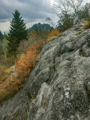
This trail initially traverses Grassy Cove Ridge at or near its crest, with minimal views other than of the Parkway, until it drops down to Greasy Cove Prong. Caution: The trail is especially difficult to see during this descent. It follows the prong...
**Waterrock Knob to Pisgah Inn**
From Waterrock Knob to Flat Gap, the trail follows the Blue Ridge Parkway closely at most times. It gains some distance from the motor road on the southwest slope of the ridge line from there to Haywood Gap.
From...